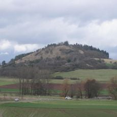
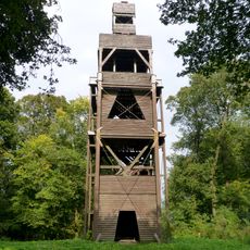
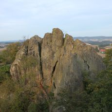
Bilstein, Mountain summit in Schwalm-Eder-Kreis, Germany.
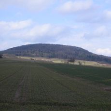
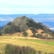
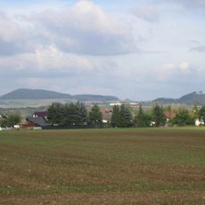
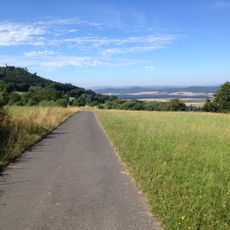
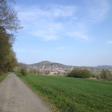
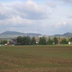
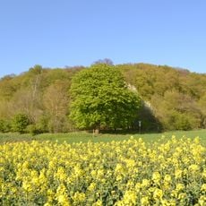
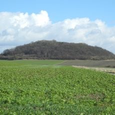
Bilstein is a mountain in Schwalm-Eder-Kreis that rises to about 460 meters and belongs to the Langenbergen range. The slopes display natural rock formations and offer views across the Hesse landscape.
The Bilstein formation began about 16 to 18 million years ago, when magma pushed through cracks in existing rock layers. This volcanic process shaped the region's geology over time.
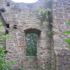
The summit area holds the remains of a ring wall enclosing about 2.8 hectares, of which only the western half survives as a worn semicircle. The hill lies between Besse, part of Edermünde, and Ermetheis, part of Niedenstadt, and the Löwenweg long-distance trail from Warburg to Alsfeld runs over it.
The summit is reached on foot; the Löwenweg long-distance trail (Warburg–Alsfeld) runs over the hill. A hiking car park named Bilstein lies on the eastern flank by the Besse hamlets of Am Battberg and Zum Rainsborn. From the rock outcrops southeast of the top, a shelter and viewpoint face east and southeast.
A few metres southwest of the summit lie the remains of a ring wall covering about 2.8 hectares; only its western half survives as a worn semicircle. Southeast of the summit, rock cliffs and a viewpoint with a shelter hut give views mainly to the east and southeast, and the Löwenweg long-distance trail (Warburg–Alsfeld) passes here.
The community of curious travelers
AroundUs brings together thousands of curated places, local tips, and hidden gems, enriched daily by 94,078 contributors worldwide.