Dollberg, Mountain peak in Neuhütten and Nohfelden, Germany.
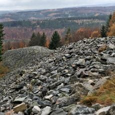
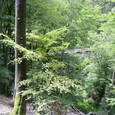
Dollberg is a mountain peak in the Schwarzwälder Hochwald region between Neuhütten and Nohfelden, rising 695.4 meters in elevation. Mixed woodland covers the entire summit area, creating a natural forest environment across the top.
Surveys conducted in 2005 confirmed that this peak exceeds Schimmelkopf by 0.6 meters, resolving a long-standing debate about Saarland's highest elevation. This measurement established its definitive rank as the region's number one peak.
The summit sign calls the Dollberg the "highest elevation of the Saarland", a title long shared with the Schimmelkopf. The wooded top offers no view, so the marker itself is the destination. Below the mountain, the 2.5 km ring wall of Otzenhausen enclosed a Celtic oppidum, a refuge fortification in the landscape.
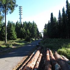
The summit is reached on mostly forest paths; a starting point is the L166/L147 road between Neuhütten and Otzenhausen, which passes the Prims Reservoir. The Saar-Hunsrück-Steig runs over the mountain, and the European long-distance trail E3 follows its western foot and the reservoir. The wooded top gives no views; only a sign marks it.
The summit sign calls the Dollberg Saarland's highest point, yet official maps record neither the name nor the 695.4 m height. The 2005 survey by the state land-registration office found it 0.6 m taller than the Schimmelkopf, settling a 20th-century tie. A beech clearing from a 1966 Starfighter crash nearby is still visible on aerial photos.
The community of curious travelers
AroundUs brings together thousands of curated places, local tips, and hidden gems, enriched daily by 92,670 contributors worldwide.