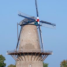
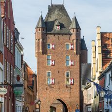
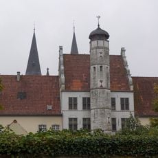
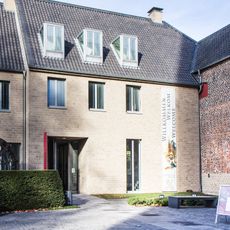
Lower German Limes, Roman frontier archaeological site along the Rhine River, Germany and Netherlands.
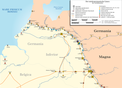
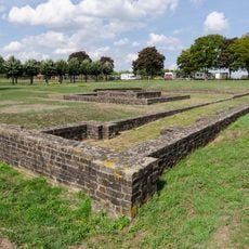
The Lower German Limes is a river frontier along the Rhine, not a walled fortification. It ran from the Oude Rijn estuary near Katwijk to the Vinxtbach at Niederbreisig, guarded by a chain of auxiliary castra. The UNESCO listing covers 44 properties with 106 individual sites, including marching camps from around 16 BC and later permanent forts.
From 15 BC Augustus and his stepson Drusus strengthened the Rhine as a boundary; after the decision not to conquer the lands east of the river in AD 16, it became the fixed frontier of Germania Inferior. The line ran from the Oude Rijn estuary near Katwijk to the Vinxtbach at Niederbreisig, guarded by a chain of auxiliary forts rather than a wall. In 2021 UNESCO inscribed it, with 44 properties and 106 individual sites, as part of the Frontiers of the Roman Empire.
The name limes is Latin for a frontier and has two syllables; in Dutch the route is called Neder-Germaanse Limes. The course of the frontier and the names of its sites, among them Lugdunum Batavorum, Albaniana, Traiectum and Noviomagus, are known mainly from the Tabula Peutingeriana and the Itinerarium Antonini. The Rhine also carried goods and troops, controlled by the Roman Rhine fleet, the Classis Germanica.
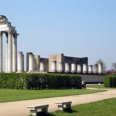
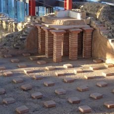
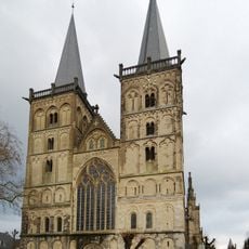
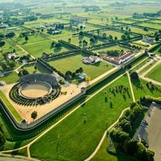
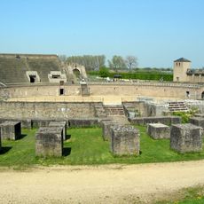
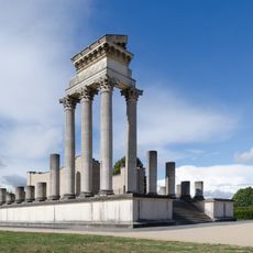
The site is best explored on day trips, with several archaeological parks like Xanten serving as main stops featuring museums and reconstructed buildings. You should wear comfortable shoes, since many spots require walking and weather protection can be helpful.
The Romans used the Rhine itself as a natural barrier here, so they did not need continuous walls like in other parts of the Empire. This system allowed for more flexible control of the border through the water line.
The community of curious travelers
AroundUs brings together thousands of curated places, local tips, and hidden gems, enriched daily by 93,606 contributors worldwide.