Kniebis, Mountain peak in Black Forest, Germany
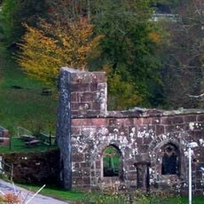
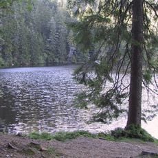
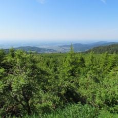
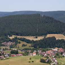
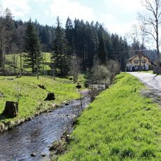
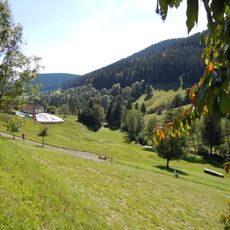
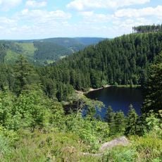
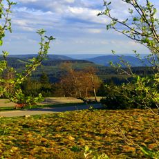
The Kniebis is a long mountain ridge in the Black Forest reaching 971 metres, with the village of Kniebis lying on its southern part as a dispersed settlement. The ridge carries the Black Forest High Road, and at the western village exit stands the Alexanderschanze pass. The village is now a district of Freudenstadt.
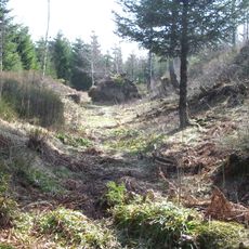
In 1267 Kniebis Abbey was founded in the village and dissolved in 1534 during the Reformation. The pass carried the Strasbourg–Ulm trade route, the Oppenauer Steige, controlled in Hohenstaufen times by the House of Zähringen and used for troop movements in the Thirty Years' War. From 1939 to 1945 the Führer Headquarters Tannenberg stood on the mountain, used briefly by Hitler in 1940 and blown up by the Wehrmacht in 1945.
The area is known for cross-country skiing and winter sports that are part of daily life here. People use the slopes and trails for these activities, especially during the colder months.
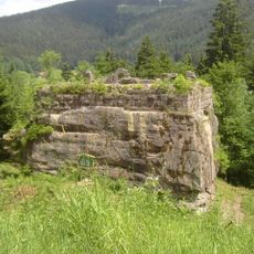
The ridge is crossed by the B 28 from Freudenstadt, which becomes the B 500 at the Alexanderschanze pass and runs on toward Baden-Baden; the B 28 continues to Kehl and Strasbourg. The L 96 branches south toward Hausach, and buses connect the village with Freudenstadt. The western village exit holds the Alexanderschanze, with the Röschenschanze and Schwedenschanze further north along the B 500.
The night trail is a roughly two-kilometre loop at the Kniebis ski stadium, close to the village, lit by floodlights when conditions require and fully coverable with artificial snow; a fee applies. The sources give no opening hours.
The community of curious travelers
AroundUs brings together thousands of curated places, local tips, and hidden gems, enriched daily by 94,639 contributors worldwide.