Roßberg, Mountain summit in the Palatine Forest, Rhineland-Palatinate, Germany
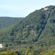
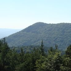
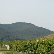
The Roßberg rises to 637 m above sea level (NHN) in the Haardt, the eastern range of the Palatine Forest, making it the third highest mountain in the Palatine Forest. Its summit lies 1.5 km east of Ramberg, on the territory of Burrweiler. The mountain is entirely forested, with no clearing at the top; a small glade on the summit area holds a hunting stand and is reached from the south by a forest track.
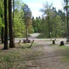
The Roßberg lies in the Haardt range, which forms the eastern edge of the Palatine Forest toward the Upper Rhine Plain. Its slopes belong to the Haardtrand bird protection area, which covers 147.28 km² but leaves the eastern flank outside. The summit area is a small clearing reached by a forest track from the south, where a hunting stand (Hochsitz) stands.
The name Roßberg uses the old spelling with ß; the mountain rises on the boundary between Ramberg and Burrweiler, whose municipal territory holds the summit. On the northern slope, the spring Kaltes Wasser feeds the Modenbach, and the Ziegelbach rises on the east side. A small clearing on the summit area, reached by a forest track from the south, holds a raised hunting stand (Hochsitz).
The summit is reached from the south on a forest track; the approach from the east is overgrown in places. The L 506 runs west and north of the mountain through the Dernbach and Modenbachtal valleys, with the Modenbacherhof at the northern foot. A small clearing on the summit area holds a hunting stand.
The summit is entirely forested and has no clearing, so there is no view of the surrounding countryside. A small clearing on the summit area, reached by a forest track from the south, holds a raised hunting hide (Hochsitz). The eastern approach is overgrown in places.
The community of curious travelers
AroundUs brings together thousands of curated places, local tips, and hidden gems, enriched daily by 93,069 contributors worldwide.