Gebrannter Stein, Mountain summit in Thuringia, Germany.
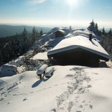
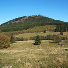
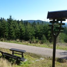
Gebrannter Stein is a mountain peak in Thuringia standing at approximately 900 meters and sitting within the Thuringian Forest. The summit offers views across the surrounding woodland and is crossed by several marked hiking paths.
The sources document no settlement history for the summit itself; the mountain appears only through its hiking routes. The Ruppberg car park route follows the Reifweg for just under 2 km before a signposted path branches right, and the Zella sports field route passes beneath the ski jump and climbs through the Lämmerröder valley.
The name Gebrannter Stein ("burnt stone") is not explained in the sources; the summit is reached by marked trails from the Ruppberg car park, the Zella sports field and the Rondell near Oberhof. Near the top, a signposted path passes minor rocks covered in dense blueberry growth before reaching the main summit.
Hikers can start from several locations such as Ruppberg parking area or Zellaer sports field. The paths are well marked and offer different difficulty levels depending on which route you choose.
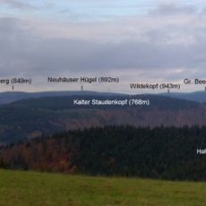
The summit is reached by a marked path that first passes several secondary rocks covered in dense blueberry growth before continuing to the main peak. From the top, the view south takes in the Ringberghaus, the Großer Erleshügel and Suhl, while the Rhön peaks of Kreuzberg, Heidelstein and Wasserkuppe lie to the west.
The community of curious travelers
AroundUs brings together thousands of curated places, local tips, and hidden gems, enriched daily by 93,099 contributors worldwide.