Vulkanland Eifel Geopark, Geological park in Rhineland-Palatinate, Germany.
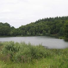
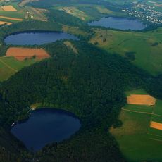
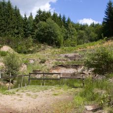
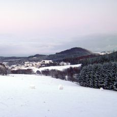
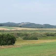
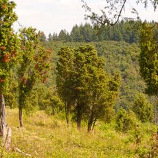
The Vulkanland Eifel Geopark spreads across terrain marked by cooled lava flows, crater lakes, and cone-shaped hills that show evidence of past volcanic activity. The landscape reveals different geological formations that visitors can explore on foot while discovering traces of ancient eruptions throughout the region.
The region was shaped about 13,000 years ago by a massive eruption that created the Laacher See and marked the last major volcanic event in this area. Since then, smaller geological processes have continued to reshape the landscape.
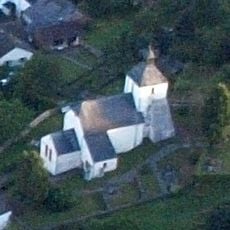
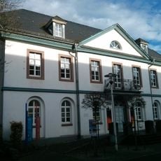
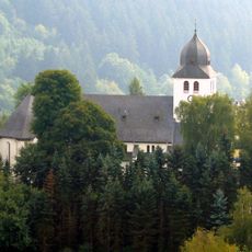
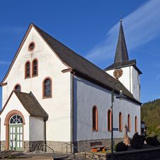
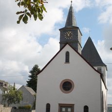
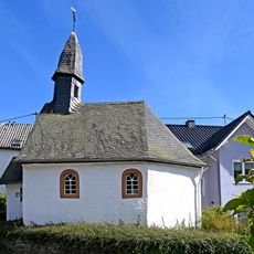
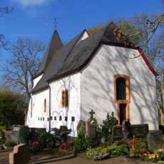
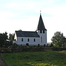
The region's volcanic origins shape local place names and community traditions that visitors encounter throughout their travels. People here use the landscape for walking and learning experiences that reveal how geology influences the way communities develop and connect with their surroundings.
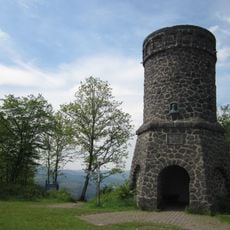
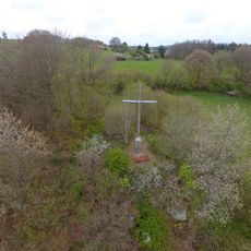
The best way to explore this place is by walking on marked paths that lead through different geological features. Visitors should take time to wander through varying landscapes and read information boards that explain the geology and formations visible along the routes.
Volcanic gas emissions and mineral springs are still visible in the region today, showing that geological activity continues beneath the surface. These active processes make the geopark a place where visitors can observe living geology in action.
The community of curious travelers
AroundUs brings together thousands of curated places, local tips, and hidden gems, enriched daily by 60,000 contributors worldwide.