Enable Location

We need your location to show you interesting places around you

Discover nearby places

Find interesting locations and hidden gems around you

Precise directions

Get accurate directions and distances to places

Your location is never shared with other users. It's only used when you tap the location button.

Log in to your account

Start exploring — it's free

Trusted by 62,886 travelers worldwide

Continue with Google
Continue with Apple
or

We will send you a code to connect

By continuing, you accept our Terms and Conditions and our Privacy Policy

Check your inbox

We've sent a pincode in your inbox. Please enter the code below.

Oberreifenberg

Oberreifenberg, Mountain settlement district in Schmitten im Taunus, Germany

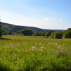
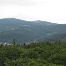
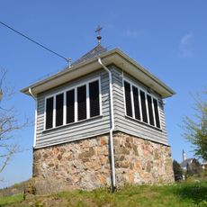
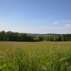
Oberreifenberg is a mountain settlement district in the Taunus range, situated on forested slopes at an elevation of 605 meters. The area covers roughly 3.83 square kilometers and is characterized by wooded terrain and rural settlement patterns typical of the region.

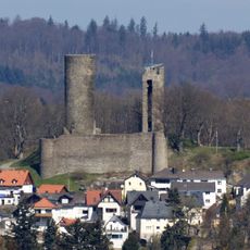
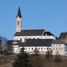
The area developed around Reifenberg Castle, first mentioned in records in 1331, which marked the beginning of settlement in this elevated region. This fortified stronghold became the foundation for how the community grew over the centuries that followed.

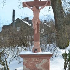
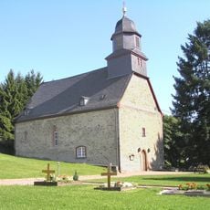
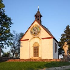
The St. Gertrudis Chapel stands in the settlement and reflects the area's connection to medieval nobility. Visitors can sense how a single family shaped the character and development of this mountain community.

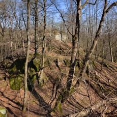
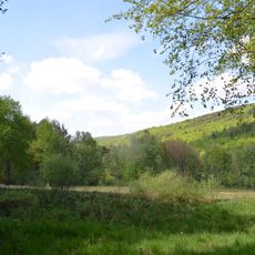
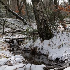
Visitors can enjoy hiking through forested mountain terrain with well-maintained paths and clear directions throughout the area. The Fritz Emmel Youth Hostel nearby offers accommodation for groups and serves as a good base for exploring the wider Taunus region.

The coat of arms features three diagonal red stripes on a silver background, a heraldic symbol inherited directly from the medieval Reifenberg nobility. This distinctive heraldry is uncommon in the Taunus region and reflects how deeply the family's legacy remains embedded in the community's identity.

The community of curious travelers

AroundUs brings together thousands of curated places, local tips, and hidden gems, enriched daily by 60,000 contributors worldwide.

Start exploring
Elevation above the sea
605 m
GPS coordinates
50.24583,8.43194
Latest update
December 10, 2025 16:01
« Oberreifenberg - Mountain settlement district in Schmitten im Taunus, Germany » is provided by Around Us (aroundus.com). Images and texts are derived from Wikimedia project under a Creative Commons license. You are allowed to copy, distribute, and modify copies of this page, under the conditions set by the license, as long as this note is clearly visible.

Discover hidden gems everywhere you go!

From secret cafés to breathtaking viewpoints, skip the crowded tourist spots and find places that match your style. Our app makes it easy with voice search, smart filtering, route optimization, and insider tips from travelers worldwide. Download now for the complete mobile experience.

Around Us App Screenshot

A unique approach to discovering new places

Le Figaro

All the places worth exploring

France Info

A tailor-made excursion in just a few clicks

20 Minutes

Around Us
Travel Guide & Maps
Download

Send to your phone

QR Code
1

Open the camera app on your mobile.

2

Point at the QR code with your camera. A notification will appear.

3

Tap the notification to open the link.