Hunsrück-Mosel-Radweg
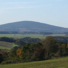
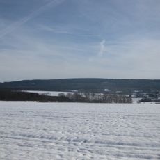
The Hunsrück-Mosel-Radweg is a 58-kilometer bike path in Rhineland-Palatinate connecting the town of Büchenbeuren with Treis-Karden on the Mosel River. The route follows well-maintained farm and forest paths plus quiet country roads through valleys and plateaus with a total elevation change of about 730 meters.
The bike path was built in 2006 with support from European funds through the LEADER+ program, which promotes rural development. The route follows historic merchant trade routes that once connected towns.
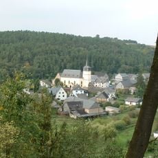
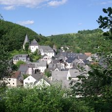
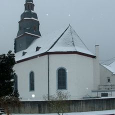
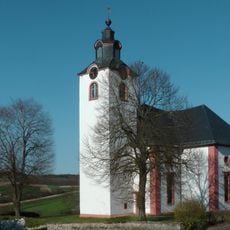
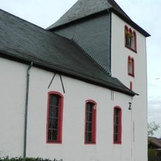
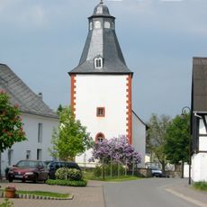
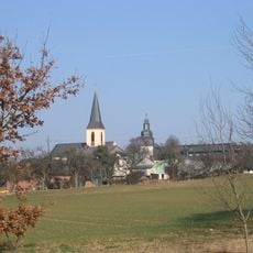
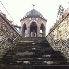
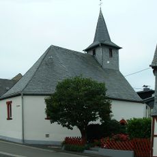
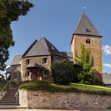
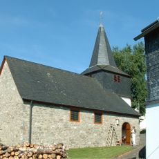
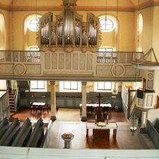
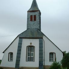
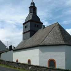
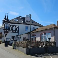
The route passes through wine-growing areas along the Mosel where visitors can watch daily vineyard work. Small villages along the trail show traditional architecture with timber-frame houses and cobblestone squares where locals and visitors alike walk and cycle.
The path is well-marked and navigation is easy with maps or GPS devices. Most climbs are gentle, making the route suitable for beginners and families where you can set your own pace throughout the day.
The route connects with other cycling trails such as the Hunsrück-Radweg and Schinderhannes-Radweg allowing visitors to explore larger parts of the region. These connections make it easy to plan longer bike rides and discover different landscapes.
The community of curious travelers
AroundUs brings together thousands of curated places, local tips, and hidden gems, enriched daily by 60,000 contributors worldwide.