
Koblenz-Güls, human settlement in Germany
Location: Koblenz
Elevation above the sea: 82 m
GPS coordinates: 50.34280,7.54778
Latest update: March 6, 2025 10:33
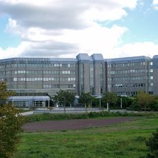
German Federal Archives
1.8 km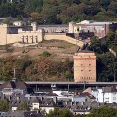
Fort Constantin
2.8 km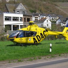
Christoph 23 (air ambulance)
2.8 km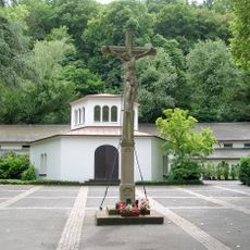
Hauptfriedhof Koblenz
2.2 km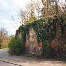
Feste Kaiser Alexander
2.3 km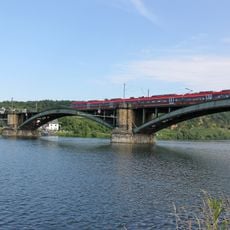
Gülser Eisenbahnbrücke in Koblenz
493 m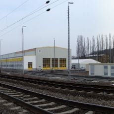
Bahnbetriebswerk Koblenz-Mosel
1.6 km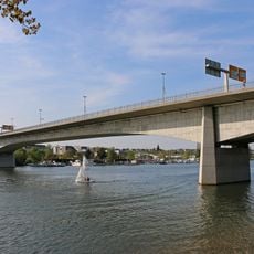
Kurt Schumacher Bridge
2.1 km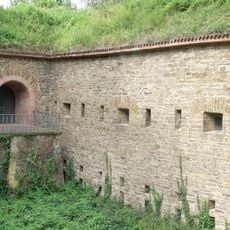
Hübeling Blockhouse
2 km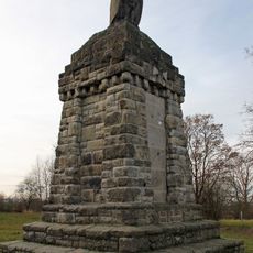
Metternicher Eule
1.9 km
Kartause Koblenz
2.9 km
Rittersturz-Denkmal in Koblenz
2.9 km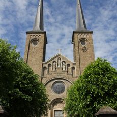
St. Servatius
112 m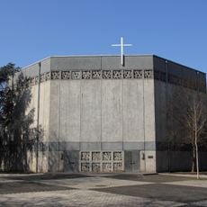
St. Franziskus
2.5 km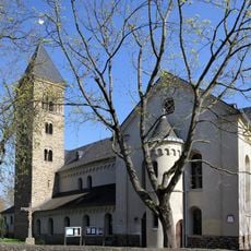
St. Laurentius (Koblenz-Moselweiß)
1.2 km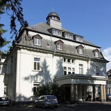
Weidtmansches Schlösschen
2.2 km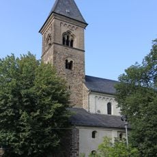
Old-St. Servatius (Koblenz-Güls)
79 m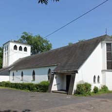
St. Beatus
2.3 km
Salesianerinnenkloster Koblenz
1.1 km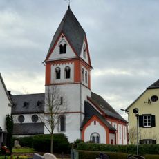
St. Martinus
2.4 km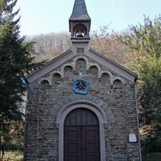
Dreifaltigkeitskapelle
2.7 km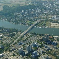
Eiszeitliches Loessprofil
1.6 km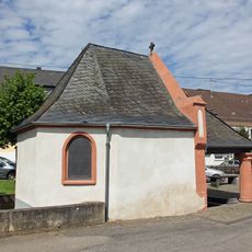
Großheiligenhäuschen (Koblenz-Güls)
580 m
Dreifaltigkeitskapelle
869 m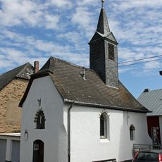
St. Antonius Eremit
1.5 km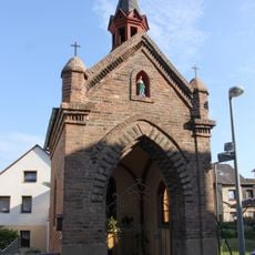
St. Sebastianus
204 m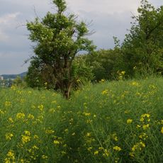
Heyerberg - Kimmelberg
1.2 km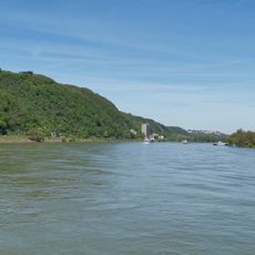
Mittelrhein
2.1 kmReviews
Visited this place? Tap the stars to rate it and share your experience / photos with the community! Try now! You can cancel it anytime.
Discover hidden gems everywhere you go!
From secret cafés to breathtaking viewpoints, skip the crowded tourist spots and find places that match your style. Our app makes it easy with voice search, smart filtering, route optimization, and insider tips from travelers worldwide. Download now for the complete mobile experience.

A unique approach to discovering new places❞
— Le Figaro
All the places worth exploring❞
— France Info
A tailor-made excursion in just a few clicks❞
— 20 Minutes