Nahe-Felsen-Weg, Hiking trail in Rhineland-Palatinate, Germany.
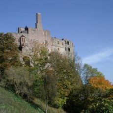
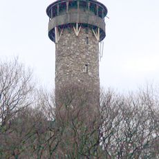
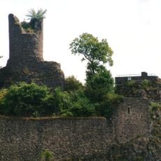
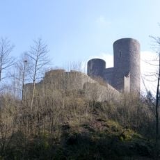
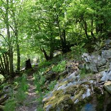
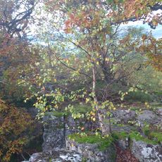
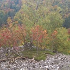
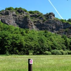
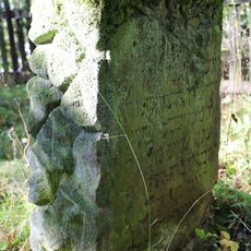
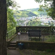
The Nahe-Felsen-Weg is a hiking trail through dense beech forests and rocky terrain near Idar-Oberstein. The route winds through varying elevations with stone sections and wooded passages that alternate, creating visual and physical interest throughout the walk.
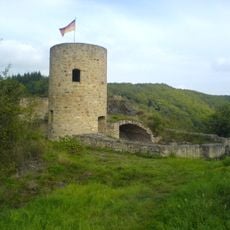
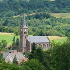
The region around this trail has been a center for gemstone mining and processing for 500 years, shaping the development of the nearby town. This mining tradition left marks on the landscape and local infrastructure.
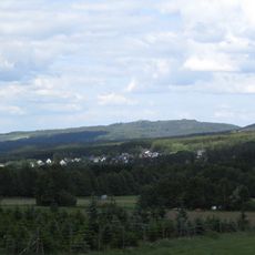
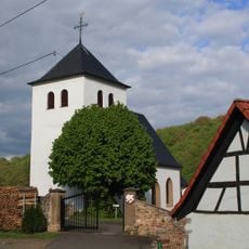
The path winds through areas closely tied to local identity, where visitors can discover the landscape that has shaped people's lives for centuries. The forests and rocky formations reflect the deep connection between the community and its natural surroundings.
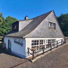
The trail has multiple entry points, with the market square in Oberstein being a good starting point. The area is easily accessible via the Idar-Oberstein train station, and sturdy footwear is recommended for the rocky terrain.
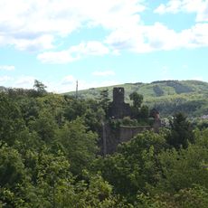
The trail passes through the Altenberg nature reserve, where hikers can observe eagle owls and kestrels nesting among the rocky cliffs. This area offers rare opportunities to watch birds of prey in their natural habitat.
The community of curious travelers
AroundUs brings together thousands of curated places, local tips, and hidden gems, enriched daily by 60,000 contributors worldwide.