Red Wine Trail, Wine hiking trail in Ahr Valley, Germany
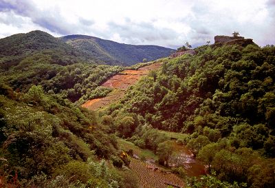
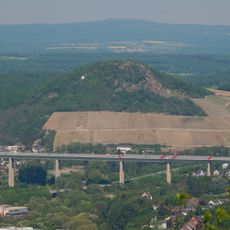
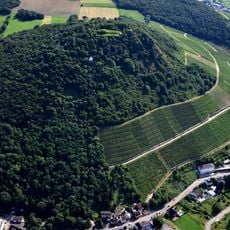
The Red Wine Trail is a hiking path spanning about 36 kilometers that winds through steeply terraced vineyards in the Ahr Valley, running from Altenahr to Bad Bodendorf. The route follows the northern banks of the Ahr River and passes through areas with castle ruins, vineyard slopes, and sections of the river valley.
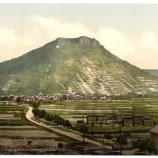
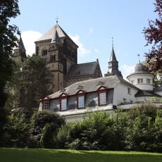
The trail was established as an organized hiking route in 1972, connecting areas known for wine production for many centuries. Medieval castle ruins and monastery remnants scattered along the path testify to the region's long-standing settlement and the deep relationship between wine-growing and local history.
Winemakers on these steep slopes have cultivated Pinot Noir for generations, and this tradition shapes the landscape and local identity. The terraced vineyards are more than just farmland; they represent the skill and patience that locals have invested in their craft for centuries.
The trail divides into three sections that can be walked across different days or as day hikes, with several starting points reachable by public transportation. Wine estates and tasting rooms appear regularly along the route, making it easy to take breaks and sample local wines.
The Ahr region benefits from hot summer days and cool nights influenced by the river valley, which gives the wine a balance between ripeness and acidity. These climatic conditions, combined with slate soil, create wine styles not found in other German regions.
The community of curious travelers
AroundUs brings together thousands of curated places, local tips, and hidden gems, enriched daily by 60,000 contributors worldwide.