Enable Location

We need your location to show you interesting places around you

Discover nearby places

Find interesting locations and hidden gems around you

Precise directions

Get accurate directions and distances to places

Your location is never shared with other users. It's only used when you tap the location button.

Landskrone

Log in to your account

Start exploring — it's free

Trusted by 61,905 travelers worldwide

Continue with Google
Continue with Apple
or

We will send you a code to connect

By continuing, you accept our Terms and Conditions and our Privacy Policy

Check your inbox

We've sent a pincode in your inbox. Please enter the code below.

Landskrone

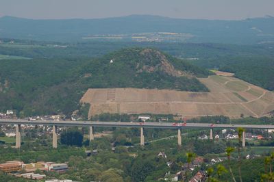
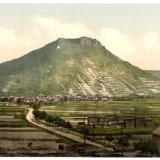
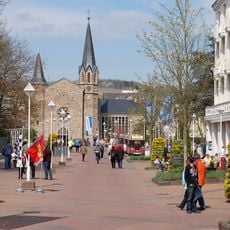
Landskrone, Hill summit in Bad Neuenahr-Ahrweiler, Germany.

Landskrone rises about 272 meters above sea level in the northern reaches of the lower Ahr Valley, sitting between the villages of Gimmigen and Heppingen. The hill is crisscrossed by walking trails that link it to regional paths and offer access to different viewpoints.

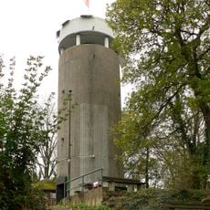
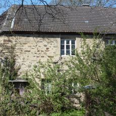
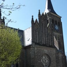
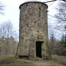
The hill takes its name from the castle of Landskron, which once occupied its peak and was formerly called Gimmiger Berg. The fortress played a role in the region's medieval past before it fell into ruin.

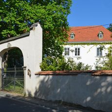
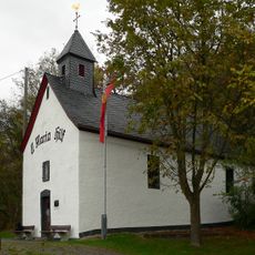
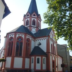
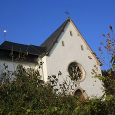
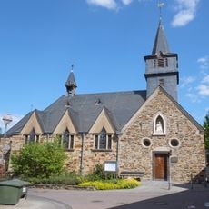
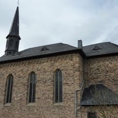
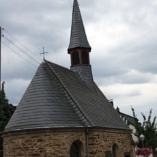
The western slope holds Saint Mary's Chapel, also known as the Chapel of Our Lady of Perpetual Help, which marks this location as a place of spiritual importance. Hikers and visitors naturally gather here as a stopping point during their walks through the valley.

Visitors can reach Landskrone from Bad Neuenahr-Ahrweiler via marked hiking trails that are straightforward to follow. The climb is manageable and connects to other walking routes in the area.

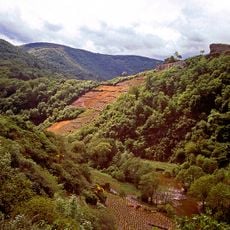
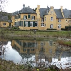
Several small streams converge at the base of the hill, including the Leimersdorfer Bach and Lohrsdorfer Bach, which flow into the River Ahr. These waterways shape the landscape and create small wetland areas that hikers encounter along their route.

The community of curious travelers

AroundUs brings together thousands of curated places, local tips, and hidden gems, enriched daily by 60,000 contributors worldwide.

Start exploring
Elevation above the sea
271.7 m
Part of
Mittelrheingebiet
GPS coordinates
50.55118,7.17228
Latest update
December 12, 2025 14:26
« Landskrone - Hill summit in Bad Neuenahr-Ahrweiler, Germany » is provided by Around Us (aroundus.com). Images and texts are derived from Wikimedia project under a Creative Commons license. You are allowed to copy, distribute, and modify copies of this page, under the conditions set by the license, as long as this note is clearly visible.

Discover hidden gems everywhere you go!

From secret cafés to breathtaking viewpoints, skip the crowded tourist spots and find places that match your style. Our app makes it easy with voice search, smart filtering, route optimization, and insider tips from travelers worldwide. Download now for the complete mobile experience.

Around Us App Screenshot

A unique approach to discovering new places

Le Figaro

All the places worth exploring

France Info

A tailor-made excursion in just a few clicks

20 Minutes

Around Us
Travel Guide & Maps
Download

Send to your phone

QR Code
1

Open the camera app on your mobile.

2

Point at the QR code with your camera. A notification will appear.

3

Tap the notification to open the link.