Enable Location

We need your location to show you interesting places around you

Discover nearby places

Find interesting locations and hidden gems around you

Precise directions

Get accurate directions and distances to places

Your location is never shared with other users. It's only used when you tap the location button.

Log in to your account

Start exploring — it's free

Trusted by 62,801 travelers worldwide

Continue with Google
Continue with Apple
or

We will send you a code to connect

By continuing, you accept our Terms and Conditions and our Privacy Policy

Check your inbox

We've sent a pincode in your inbox. Please enter the code below.

Kreidach

Kreidach, Municipal district in Wald-Michelbach, Germany

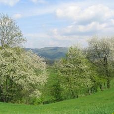
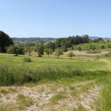
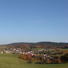
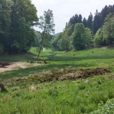
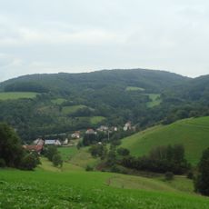
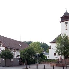
Kreidach is a municipal district of Wald-Michelbach situated in the Bergstraße region, split into Upper and Lower sections. The settlement sits near 312 meters in elevation and lies close to the source of the Mörlenbach stream.

The settlement first appeared in written records in 1287 under the name Crutehe and grew within the former Mark Heppenheim territory. This region had been granted to Lorsch Abbey by Charlemagne in 773, shaping its early medieval development.

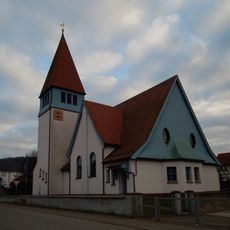
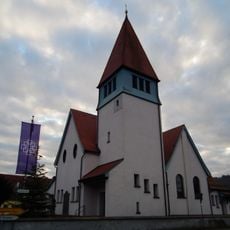
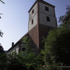
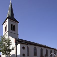
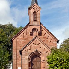
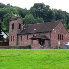
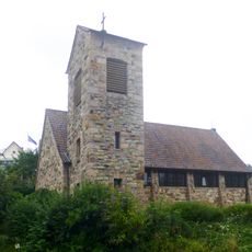
The settlement developed a mixed religious character as communities shifted between Lutheran, Reformed, and Catholic traditions over centuries. A chapel built in 1764 stands as a physical reminder of this religious coexistence in daily village life.

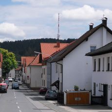
The district can be reached via the L3120 regional road connecting Mörlenbach and Wald-Michelbach, providing straightforward access. The postal code 69483 helps with navigation and general orientation.

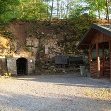
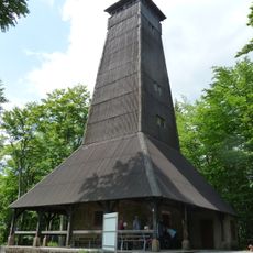
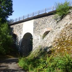
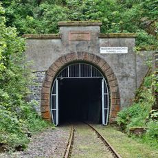
A striking piece of industrial heritage marks the landscape: a railway viaduct built in 1896 as part of the former Überwald railway. This line served the area until 1994, leaving behind a notable structure from the region's transport past.

The community of curious travelers

AroundUs brings together thousands of curated places, local tips, and hidden gems, enriched daily by 60,000 contributors worldwide.

Start exploring
Location
Elevation above the sea
312 m
GPS coordinates
49.56450,8.80049
Latest update
December 14, 2025 13:03
« Kreidach - Municipal district in Wald-Michelbach, Germany » is provided by Around Us (aroundus.com). Images and texts are derived from Wikimedia project under a Creative Commons license. You are allowed to copy, distribute, and modify copies of this page, under the conditions set by the license, as long as this note is clearly visible.

Discover hidden gems everywhere you go!

From secret cafés to breathtaking viewpoints, skip the crowded tourist spots and find places that match your style. Our app makes it easy with voice search, smart filtering, route optimization, and insider tips from travelers worldwide. Download now for the complete mobile experience.

Around Us App Screenshot

A unique approach to discovering new places

Le Figaro

All the places worth exploring

France Info

A tailor-made excursion in just a few clicks

20 Minutes

Around Us
Travel Guide & Maps
Download

Send to your phone

QR Code
1

Open the camera app on your mobile.

2

Point at the QR code with your camera. A notification will appear.

3

Tap the notification to open the link.