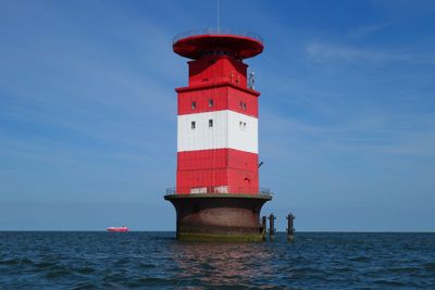
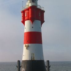
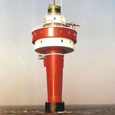
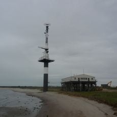
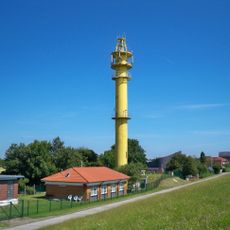
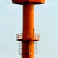
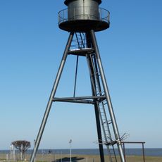
Leuchtturm Mellumplate, Navigation lighthouse in Friesland, Germany
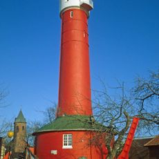
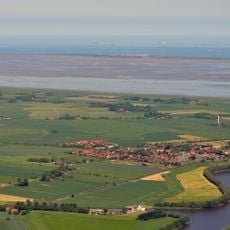
Leuchtturm Mellumplate is a navigation station on the Friesland coast that rises 32 meters and is clearly visible with its white coloring. The structure sits on the Mellumplate sandbank and was built to help seagoing ships navigate safely through the northern waters.
Construction took place in 1939, but regular operation did not begin until after World War II in 1946. A key turning point came in 1973 when the station was automated and could be monitored from a distance thereafter.
The lighthouse stands as a visual landmark for locals and represents the region's deep connection to maritime life. Its white tower has become part of how people understand the relationship between the land and the sea around them.
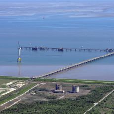
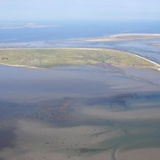
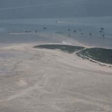
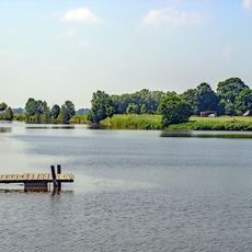
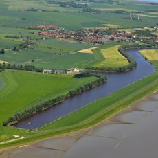
The site is located on a sandbank in the North Sea and is best accessed from the water or from land when conditions permit. Visitors should pay attention to tide conditions and check accessibility before visiting, as the area is regularly affected by strong currents and changing weather.
The lighthouse emits light in a distinctive blinking pattern of four flashes per 15 seconds, creating a recognizable signal for passing ships. This specific flash pattern allows captains to quickly and safely identify the location of the treacherous Mellumplate sandbank.
The community of curious travelers
AroundUs brings together thousands of curated places, local tips, and hidden gems, enriched daily by 60,000 contributors worldwide.