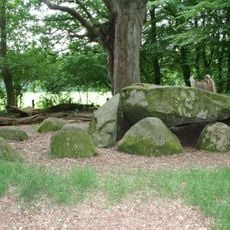
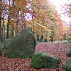
Cloppenburg Geest, Geographic formation in Lower Saxony, Germany.
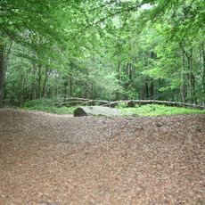
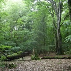
Cloppenburg Geest is an elevated sandy area that stands out with parallel channels and distinctive ridges running through the northern German landscape. The terrain displays characteristic erosional patterns and soil features that strongly structure its relief.
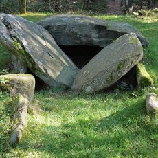
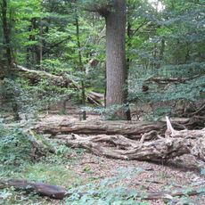
The area formed during the Saale glaciation when boulder clay was deposited over outwash sands, creating the foundation of the current geological structure. These layers continue to shape the terrain and drainage patterns we see today.
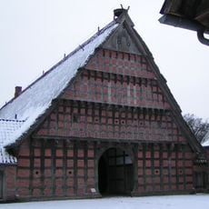
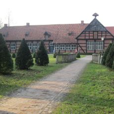
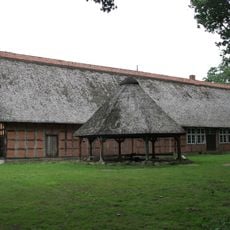
The region is shaped by a long farming tradition where fields and rural settlements form the visible landscape. The way the land is worked reflects generations of experience visible in the field patterns and daily land use.
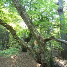
The area suits hiking and landscape exploration well, with the terrain relief and soil conditions becoming noticeable as you walk through it. It helps to observe the elevation changes and drainage patterns as you go to understand the geological differences.
The area is crossed by meltwater valleys that played a key role in developing the river network still seen today. These valleys still show clear marks from ice-age water flow and shape the landscape pattern today.
The community of curious travelers
AroundUs brings together thousands of curated places, local tips, and hidden gems, enriched daily by 60,000 contributors worldwide.