Northern Limestone Alps, Alpine mountain sector in Austria and Bavaria, Germany
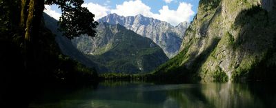
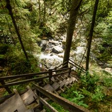
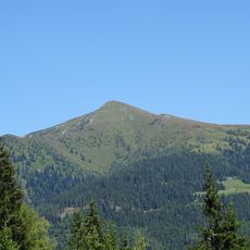
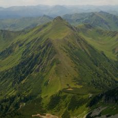
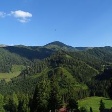
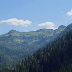
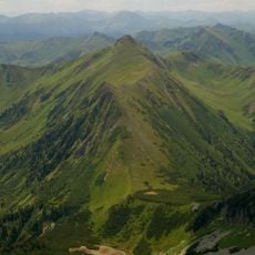
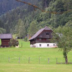
The Northern Limestone Alps stretch across roughly 600 kilometers as a continuous limestone and dolostone massif between Austria and Bavaria. The range features deep valleys, numerous lakes, and rivers that have carved characteristic Alpine shapes into the landscape.
This mountain range formed through geological processes spanning from the Permian through the Jurassic era, creating the distinctive limestone and dolostone layers visible today. Ice ages that followed shaped the current landscape, carving valleys and leaving traces of glacial activity across the slopes.
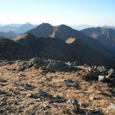
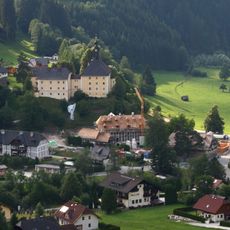
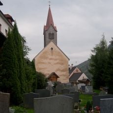
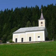
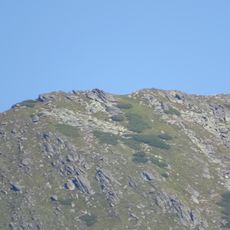
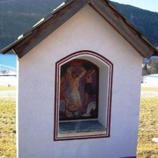
The name references the limestone composition that defines this mountain range and distinguishes it from southern Alpine formations. Local communities have long used these peaks as natural boundaries between valleys and districts, shaping regional identities.
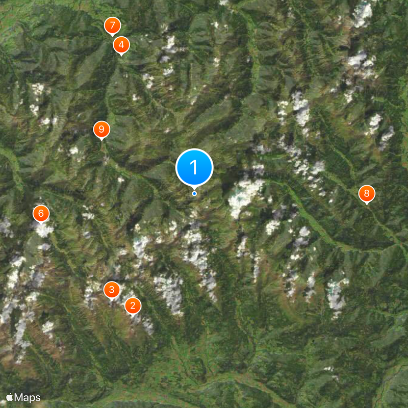
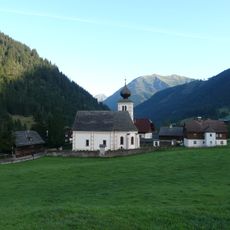
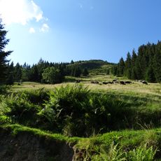
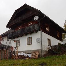
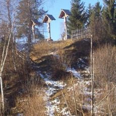
Access to this mountain region comes through established hiking trails and pass roads connecting various valleys and accessible year-round. Mountain huts scattered throughout provide landmarks and rest stops, though higher elevation routes demand proper preparation and favorable weather conditions.
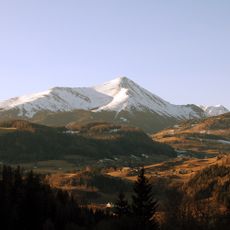
Within these limestone formations stands the Zugspitze at 2,962 meters, Germany's highest peak, positioned directly on the Austrian-Bavarian border. Despite its prominence as Germany's tallest mountain, the summit sits at this shared border, reflecting how deeply the range connects both countries.
The community of curious travelers
AroundUs brings together thousands of curated places, local tips, and hidden gems, enriched daily by 60,000 contributors worldwide.