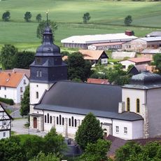
Sonnenstein, Hilltop viewpoint in Eichsfeld, Germany.
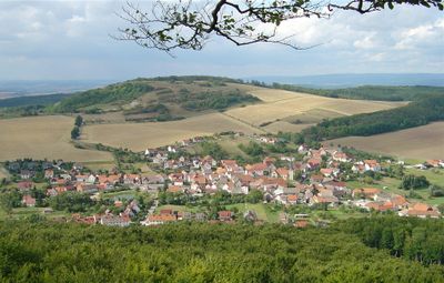
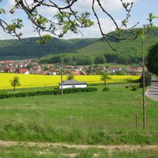
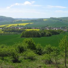
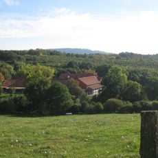
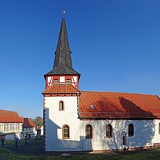
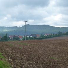
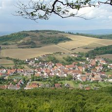
Sonnenstein is a 486-meter-high hill in the Ohm Mountains, characterized by steep limestone cliffs on its western side and an open, treeless summit. The location between Ecklingerode and Holungen provides clear views across the surrounding countryside.
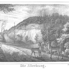
After the fall of the Thuringian kingdom, this hill served as a boundary marker between different populations, separating the medieval regions of Liesgau and Eichsfeld. A fortified structure called Urbenschanze was later built to reinforce this border position.
The name Sonnenstein refers to the sunny southern face of the hill, which is clearly visible from the valley below. The limestone cliffs have shaped how people in the region perceive and navigate their landscape for generations.
The L1011 and L1012 roads lead to the summit, connecting Ecklingerode to Holungen and Worbis to Jutzenbach. Be prepared for an exposed summit where weather and visibility can change quickly.
A striking steel platform extends roughly 9 meters out beyond the cliff edge, creating the sensation of hovering over the valley below. This structure was designed to deliver panoramic views while maintaining visitor safety.
The community of curious travelers
AroundUs brings together thousands of curated places, local tips, and hidden gems, enriched daily by 60,000 contributors worldwide.