
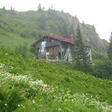
Vorderbürschgschwend Alpe
Vorderbürschgschwend Alpe, vorderbürschgschwend Alpe, erdgeschossiger, teils verschindelter Blockbau mit Satteldach, im Kern Anfang 19. Jahrhundert, um 1900 verändert; am Südhang des Denneberges
Location: Oberstaufen
Address: Bürschgschwend
GPS coordinates: 47.51437,10.07918
Latest update: March 5, 2025 15:11

Hochgrat
2.1 km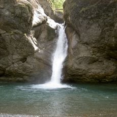
Buchenegg Waterfalls
2.8 km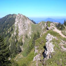
Nagelfluhkette Nature Park
4.2 km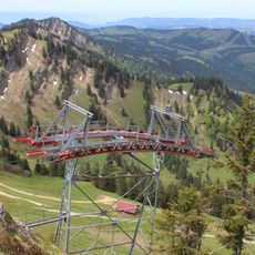
Hochgratbahn
1.7 km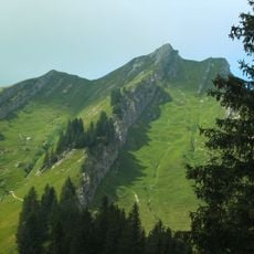
Rindalphorn
2.4 km
Ureibe bei Steibis
2.6 km
Hündlekopf
3.3 km
Seelekopf
3 km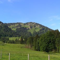
Eineguntkopf
4.2 km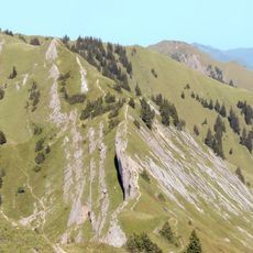
Buralp Kopf
3.9 km
Denneberg
1.5 km
Alpe Gelchenwang
2.6 km
Hündle Bahn
4.2 km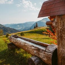
Oberstiegalpe
3.5 km
Golf Oberstaufen-Steibis
3.7 km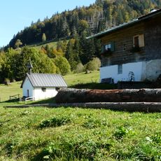
Katholische Kapelle St. Rochus
593 m
Nagelfluhkette
2.6 km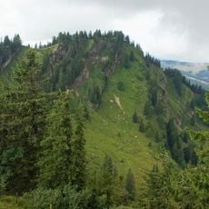
Hohenfluhalpkopf
3.6 km
Wohnhaus
4.3 km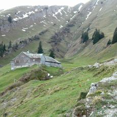
Gütle Alpe
2.3 km
Oberes Weißachtal mit Lanzen-, Katzen- und Mittelbach
2.1 km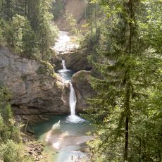
Achrain
3.9 km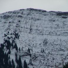
Nagelfluhrippen am Hochgrat bei Balderschwang
2.4 km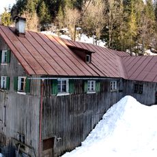
Lanzenbachsäge
2.1 km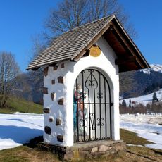
Bildstock St. Georg
4.2 km
Scheidwang Alpe
3.5 km
Nagelfluhkette Hochgrat-Steineberg
2.3 km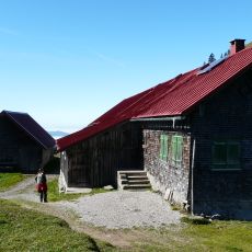
Obergelchenwang Alpe
2.6 kmReviews
Visited this place? Tap the stars to rate it and share your experience / photos with the community! Try now! You can cancel it anytime.
Discover hidden gems everywhere you go!
From secret cafés to breathtaking viewpoints, skip the crowded tourist spots and find places that match your style. Our app makes it easy with voice search, smart filtering, route optimization, and insider tips from travelers worldwide. Download now for the complete mobile experience.

A unique approach to discovering new places❞
— Le Figaro
All the places worth exploring❞
— France Info
A tailor-made excursion in just a few clicks❞
— 20 Minutes