
Hochschwarzwald um den Feldberg und Bernauer Hochtal, protected area in the European Union defined by the habitats directive in Baden-Württemberg, Germany
Location: St. Blasien
Location: Bernau im Schwarzwald
Location: Todtnau
Location: Oberried
Location: Feldberg
Location: Hinterzarten
Inception: 2005
GPS coordinates: 47.85706,7.99055
Latest update: July 6, 2025 15:42
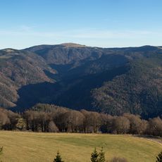
Feldberg
2.2 km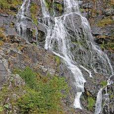
Todtnau Waterfall
4.1 km
Herzogenhorn
3.2 km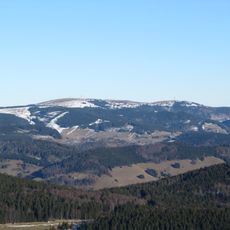
Seebuck
2.5 km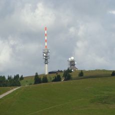
Sender Feldberg
2.1 km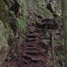
Alpine Path
2.3 km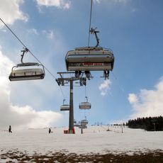
Feldbergbahn
3.5 km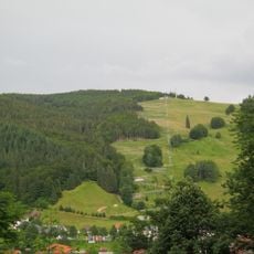
Hasenhorn
4.8 km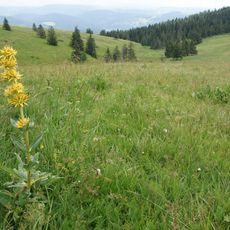
Feldberg
2.1 km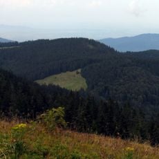
Toter Mann
3.9 km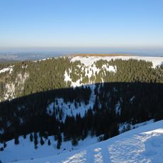
Baldenweger Buck
2.8 km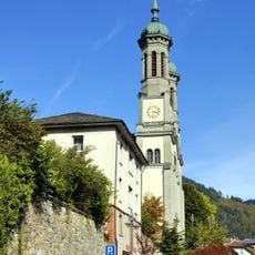
Parish Church of St. John the Baptist in Todtnau
4.4 km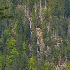
Category:Feldsee-Wasserfall
3.1 km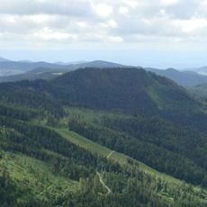
Silberberg
2.2 km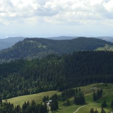
Spießhorn
4.8 km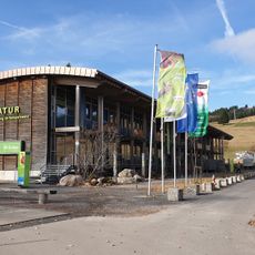
House of Nature Feldberg
3.4 km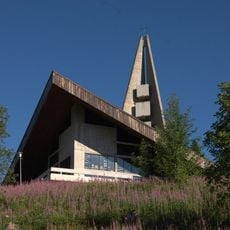
Feldbergkirche Verklärung Christi
3.5 km
St. Wilhelmer Hütte
1.8 km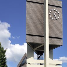
St. Jakobus der Ältere (Todtnauberg)
3.6 km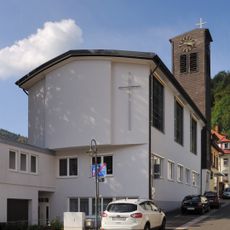
König-Christus-Kirche (Todtnau)
4.5 km
Feldberg Tower
2.5 km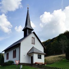
St. Wendelin
1.8 km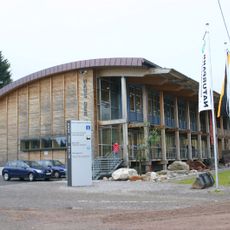
Naturschutzzentrum Südschwarzwald
3.3 km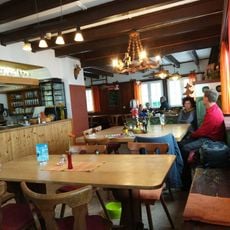
Gasthaus Hasenhorn
4.9 km
Feldberg (Landkreis Breisgau-Hochschwarzwald)
2.7 km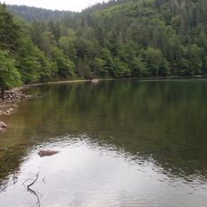
Feldseewald
3.7 km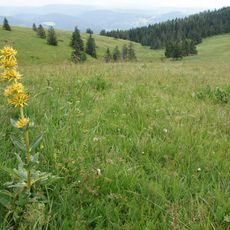
Feldberg (Landkreis Lörrach)
1.3 km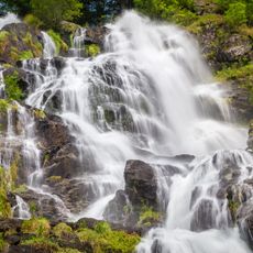
Wasserfall (Todtnauer/Todtnauberger Wasserfall)
4.2 kmReviews
Visited this place? Tap the stars to rate it and share your experience / photos with the community! Try now! You can cancel it anytime.
Discover hidden gems everywhere you go!
From secret cafés to breathtaking viewpoints, skip the crowded tourist spots and find places that match your style. Our app makes it easy with voice search, smart filtering, route optimization, and insider tips from travelers worldwide. Download now for the complete mobile experience.

A unique approach to discovering new places❞
— Le Figaro
All the places worth exploring❞
— France Info
A tailor-made excursion in just a few clicks❞
— 20 Minutes