
Kandelwald, Roßkopf und Zartener Becken, protected area in the European Union defined by the habitats directive in Baden-Württemberg, Germany
Location: Freiburg im Breisgau
Location: Oberried
Location: Kirchzarten
Location: Stegen
Location: Buchenbach
Location: Sankt Peter
Location: Simonswald
Location: Waldkirch
Location: Glottertal
Location: Heuweiler
Location: Gundelfingen
Inception: 2004
GPS coordinates: 48.00121,7.97171
Latest update: March 21, 2025 18:47
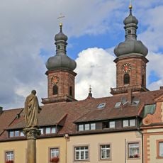
Abbey of Saint Peter in the Black Forest
4.7 km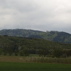
Roßkopf (Breisgau)
5.2 km
St. Odile
5.4 km
Maria Lindenberg
2.9 km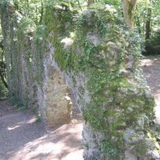
Wiesneck Castle
4.4 km
Volante (Kirchzarten)
5 km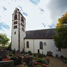
St. Gallus
4.3 km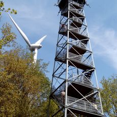
Roßkopf Tower
5.3 km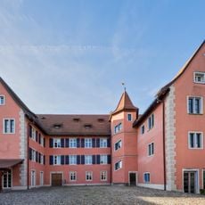
Talvogtei
4.3 km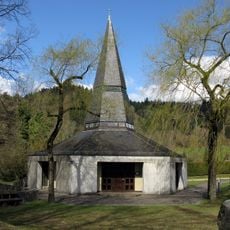
Vater Unser Kapelle
3.6 km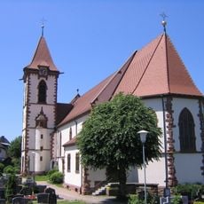
St. Blasius
5.3 km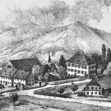
Schloss Stegen-Weiler
2.1 km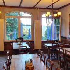
St. Ottilien
5.4 km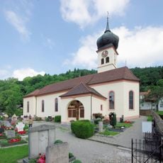
St. Hilarius
5.1 km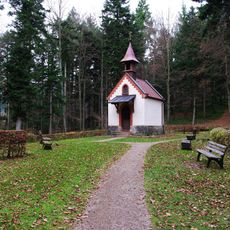
St. Wendelin chapel
4.9 km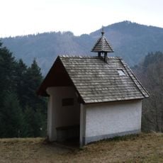
Schlangenkapelle
2.1 km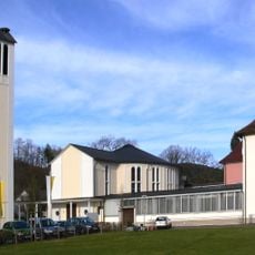
Herz-Jesu-Kirche
2.1 km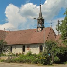
St.-Johannes-Kapelle
3.1 km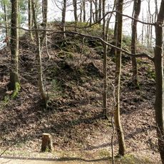
Motte bei Burg am Wald, Dreisamtal-Breisgau
3.1 km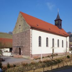
St. Jakobus
573 m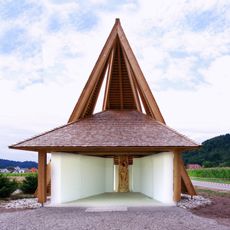
St. Anne's Chapel (Freiburg im Breisgau)
4.8 km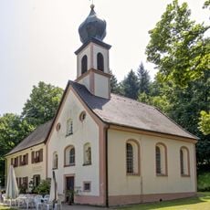
Giersbergkapelle
4.9 km
Freie Schule Dreisamtal
3.7 km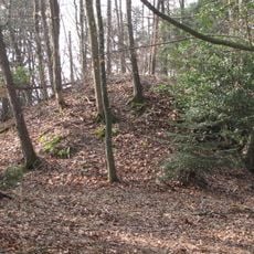
Burg Galgenbühl, Dreisamtal-Breisgau
2.9 km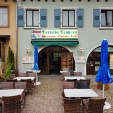
Bertoldsbrunnen
4.7 km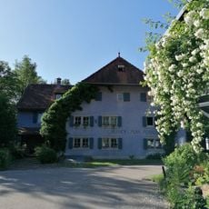
Rössle
5.3 km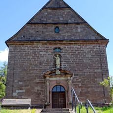
Ursulakapelle
4.7 km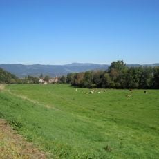
Zartener Becken
3.2 kmReviews
Visited this place? Tap the stars to rate it and share your experience / photos with the community! Try now! You can cancel it anytime.
Discover hidden gems everywhere you go!
From secret cafés to breathtaking viewpoints, skip the crowded tourist spots and find places that match your style. Our app makes it easy with voice search, smart filtering, route optimization, and insider tips from travelers worldwide. Download now for the complete mobile experience.

A unique approach to discovering new places❞
— Le Figaro
All the places worth exploring❞
— France Info
A tailor-made excursion in just a few clicks❞
— 20 Minutes