
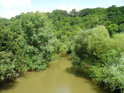
Kochertal Schwäbisch Hall - Künzelsau, protected area in the European Union defined by the habitats directive in Baden-Württemberg, Germany
Location: Schwäbisch Hall
Location: Künzelsau
Inception: 2004
GPS coordinates: 49.21386,9.76292
Latest update: March 19, 2025 13:00
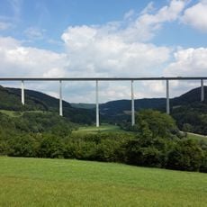
Kocher Viaduct
4.4 km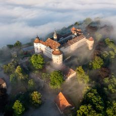
Schloss Langenburg
7.3 km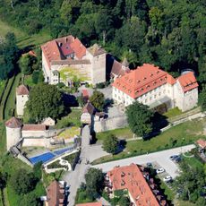
Schloss Stetten
6.1 km
Museum Würth
7.7 km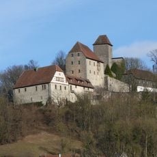
Burg Tierberg
4.6 km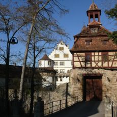
Morstein Castle
8.7 km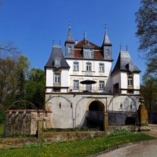
Schloss Eltershofen
8 km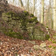
Bielriet Castle
7.5 km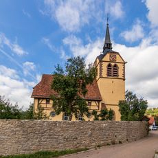
Kirche Bächlingen
7.1 km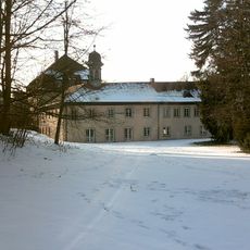
Schloss Kupferzell
5.3 km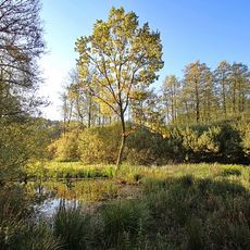
Kupfermoor
7.6 km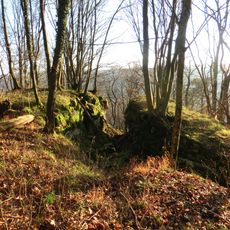
Burgruine Hopfach
8.1 km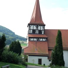
Evangelische Marienkirche (Kocherstetten)
5.9 km
Synagoge
2.7 km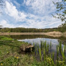
Rößlesmahdsee mit Pfaffenklinge
8.8 km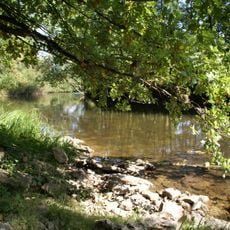
Kocher mit Seitentälern
4.6 km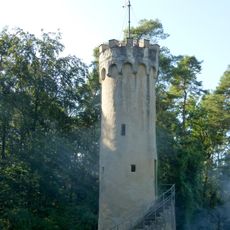
Wartbergturm
8.3 km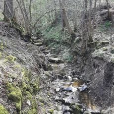
Morsbach
7.3 km
Schloss Döttingen
986 m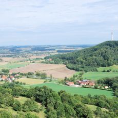
Landschaftsteile im Raum Waldenburg (3 Teilgebiete)
8.8 km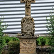
Wegkreuz
7.7 km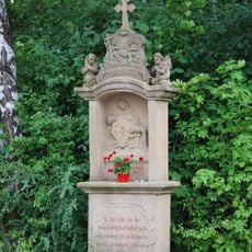
Bildstock mit Pietà
7.5 km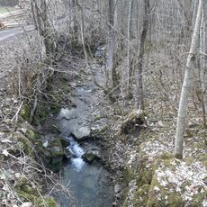
Rüblinger Bach
1.1 km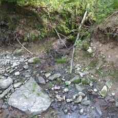
Erhardsquelle
7.8 km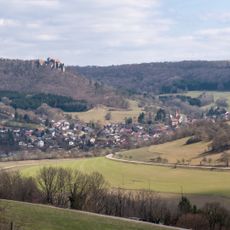
Kochertal bei Kocherstetten
5.3 km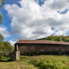
Unterregenbach Bridge
8.6 km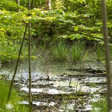
Weiher
5.9 km
1 wassergefüllte Doline "Kügelhofer Moortopf"
7.6 kmVisited this place? Tap the stars to rate it and share your experience / photos with the community! Try now! You can cancel it anytime.
Discover hidden gems everywhere you go!
From secret cafés to breathtaking viewpoints, skip the crowded tourist spots and find places that match your style. Our app makes it easy with voice search, smart filtering, route optimization, and insider tips from travelers worldwide. Download now for the complete mobile experience.

A unique approach to discovering new places❞
— Le Figaro
All the places worth exploring❞
— France Info
A tailor-made excursion in just a few clicks❞
— 20 Minutes