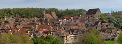
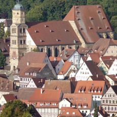
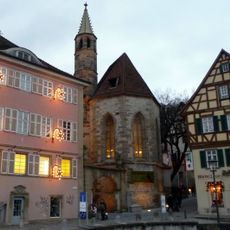
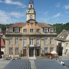
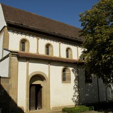
Schwäbisch Hall, Medieval town center in Baden-Württemberg, Germany.
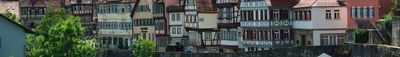
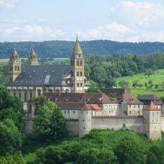
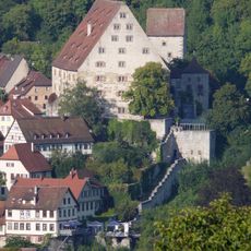
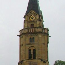
Schwäbisch Hall is a town in the Kocher valley in Baden-Württemberg, spreading along the river at around 300 meters elevation. The old center with timber-framed houses and Saint Michael's Church rises from the water in narrow lanes and steep stairways toward the higher church square.
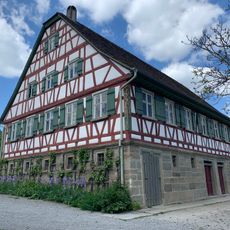
The settlement grew in the Middle Ages through salt extraction and received minting rights in the 13th century, creating the Heller currency. Economic prosperity from the salt trade shaped the town layout with representative buildings and made it an important trading center in the region.
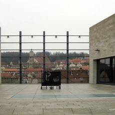
The steps in front of Saint Michael's Church become seating for summer theater when audiences gather on the historic stone tiers to watch open-air performances. The market square with its timber-framed houses remains the center of daily life, where markets and festivals bring local people together throughout the year.
The old center is best explored on foot, as many routes pass over stairways and narrow alleys. Visitors should wear sturdy shoes and allow extra time to manage the slopes comfortably.
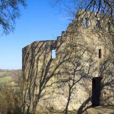
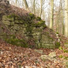
Salt springs lie beneath the town and were used for salt extraction until the 20th century with water-wheel-driven pumps. The underground brine deposits enabled production over centuries that shaped the entire townscape and social structure.
The community of curious travelers
AroundUs brings together thousands of curated places, local tips, and hidden gems, enriched daily by 60,000 contributors worldwide.