
Nitzbach mit Hangwäldern zwischen Virneburg und Nitztal, protected area in the European Union defined by the habitats directive in Rheinland-Pfalz, Germany
Location: Kirchwald
Location: Langenfeld
Location: Welschenbach
Location: Baar
Location: Virneburg
Location: Mayen
Inception: 2000
GPS coordinates: 50.35597,7.11020
Latest update: April 11, 2025 18:11
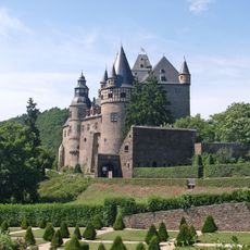
Bürresheim Castle
4.9 km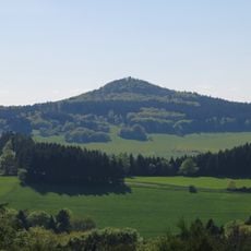
Hohe Acht
7.8 km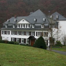
Kloster Helgoland
6.1 km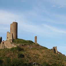
Löwenburg and Philippsburg
7.1 km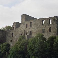
Virneburg Castle
2.6 km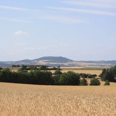
Hochsimmer
6.4 km
Gänsehals
8.1 km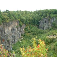
Ettringer Lay
8.1 km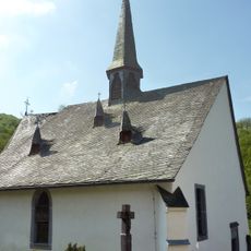
St. Jost
837 m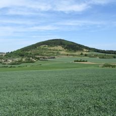
Hochstein
7.9 km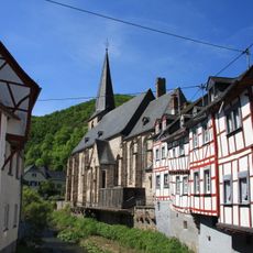
Dreifaltigkeitskirche
7.1 km
Dr. Heinrich-Menke-Park
5.6 km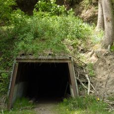
Bendisberg mine
767 m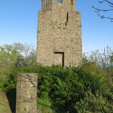
Kaiser-Wilhelm-Turm
7.8 km
Raßberg
5 km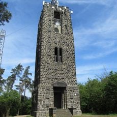
Hochsimmer Tower
6.6 km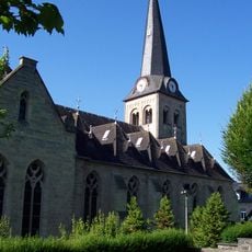
St. Philippus und Jakobus (Kempenich)
7.1 km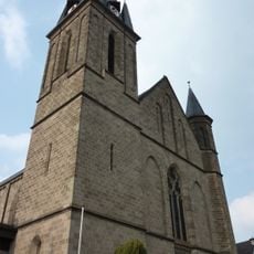
St. Barbara (Weibern)
6 km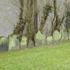
Jewish cemetery, Mayen
8 km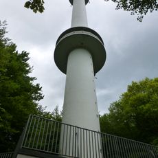
Goose Neck Tower
8.1 km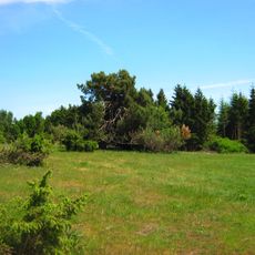
Wacholderheiden Rassberg und Heidbueschel
5.1 km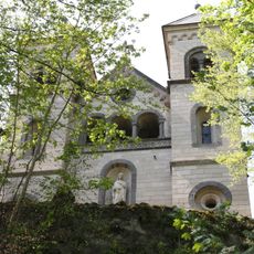
Kreuzkapelle
6.6 km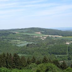
Gänsehals, Schorenberg, Burgberg und Schmitzkopf
7.8 km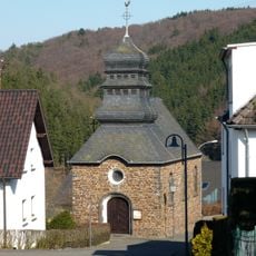
St. Wendalinus (Jammelshofen)
7 km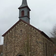
Schutzengelkapelle (Herresbach)
6.4 km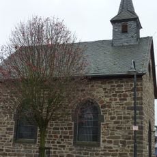
St. Lüfthildis
7.6 km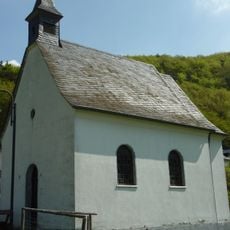
St. Antonius
2.8 km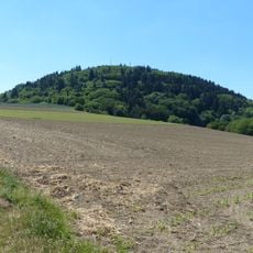
Hochsimmer
6.3 kmReviews
Visited this place? Tap the stars to rate it and share your experience / photos with the community! Try now! You can cancel it anytime.
Discover hidden gems everywhere you go!
From secret cafés to breathtaking viewpoints, skip the crowded tourist spots and find places that match your style. Our app makes it easy with voice search, smart filtering, route optimization, and insider tips from travelers worldwide. Download now for the complete mobile experience.

A unique approach to discovering new places❞
— Le Figaro
All the places worth exploring❞
— France Info
A tailor-made excursion in just a few clicks❞
— 20 Minutes