
Hochschwarzwald, protected landscape area in Breisgau-Hochschwarzwald district, Baden-Württemberg, Germany
Location: Breisgau-Hochschwarzwald
Inception: 1968
GPS coordinates: 47.85930,8.34686
Latest update: June 11, 2025 07:11
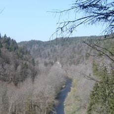
Wutachschlucht
6.5 km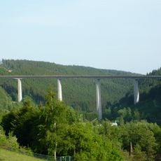
Gutachtalbrücke
9.1 km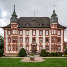
Castle Bonndorf
4.5 km
Gauchachtalbrücke Döggingen
6.7 km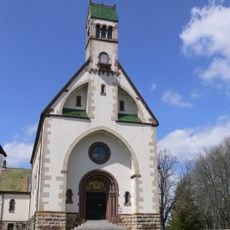
Wallfahrtskirche Witterschnee
3.9 km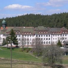
Kloster Friedenweiler
9.3 km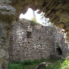
Burg Dellingen, Waldhausen-Bräunlingen, Schwarzwald-Baarkreis
9 km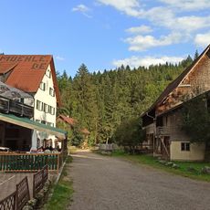
Schattenmühle
2.7 km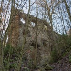
Burg Neu-Tannegg
2.9 km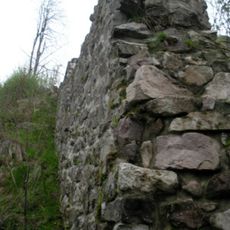
Burg Stallegg
4.4 km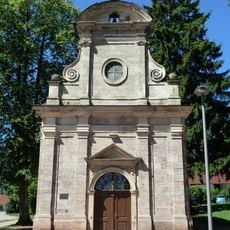
Schlosskapelle Bonndorf
4.8 km
Castle New Blumberg
4 km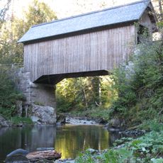
Stallegger Brücke
4.6 km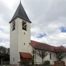
Dittishausen
4.9 km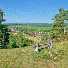
Steppenheide Hardt
6.7 km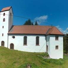
St. Rochus
2.6 km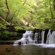
Wutachschlucht
1.8 km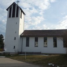
St. Paul's church
4.9 km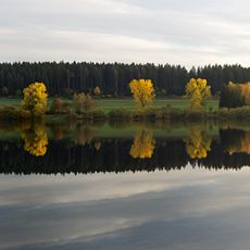
Kirnbergsee
7.7 km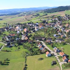
Reiselfingen
557 m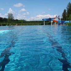
Waldbad Löffingen
4.6 km
Sommerau
8.1 km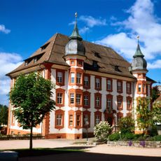
Schloss Bonndorf
4.5 km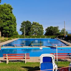
Freibad
9.6 km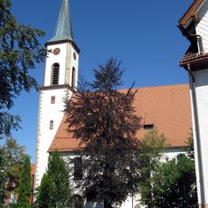
St. Michael
2.6 km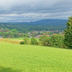
Vogtsberg
4.8 km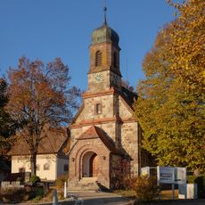
St.-Anna-Kapelle
8.3 km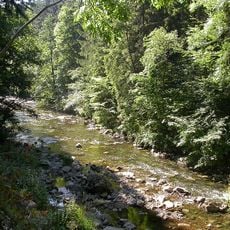
Wutachschlucht (Landkreis Breisgau-Hochschwarzwald)
6.3 kmReviews
Visited this place? Tap the stars to rate it and share your experience / photos with the community! Try now! You can cancel it anytime.
Discover hidden gems everywhere you go!
From secret cafés to breathtaking viewpoints, skip the crowded tourist spots and find places that match your style. Our app makes it easy with voice search, smart filtering, route optimization, and insider tips from travelers worldwide. Download now for the complete mobile experience.

A unique approach to discovering new places❞
— Le Figaro
All the places worth exploring❞
— France Info
A tailor-made excursion in just a few clicks❞
— 20 Minutes