
LSG-Nr. 2, protected area in Germany
Location: Werne
Inception: 1990
GPS coordinates: 51.67945,7.56919
Latest update: August 24, 2025 07:30
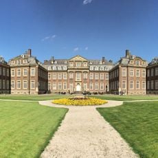
Schloss Nordkirchen
6.4 km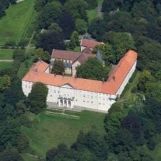
Cappenberg Castle
4.7 km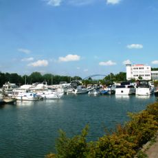
Marina Rünthe
6.5 km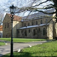
Stiftskirche Cappenberg
3.8 km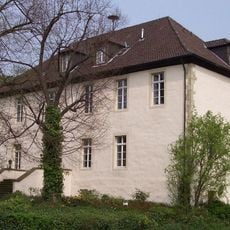
Burg Botzlar
7.1 km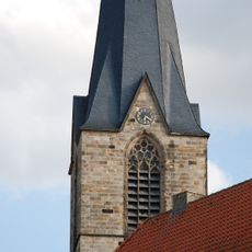
St. Christophorus (Werne)
4.9 km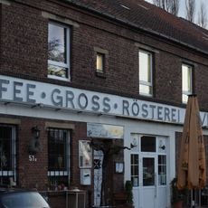
Alte Kaffeerösterei
6.8 km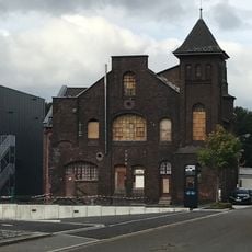
Kantine Westfalia
6.7 km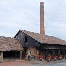
Ziegelei Siegeroth
6 km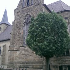
Saint Dionysius Church
6.1 km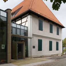
Karl-Pollender-Stadtmuseum
4.8 km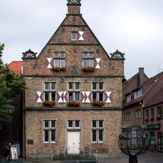
Steinhaus Werne
5 km
Gutshof Schulze Heil
5.6 km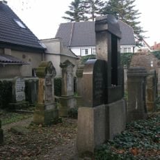
Jüdischer Friedhof Werne
4.9 km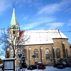
Saint Pancratius Church
3.8 km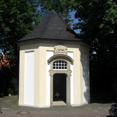
Johannes-von-Nepomuk-Kapelle, Nordkirchen
7 km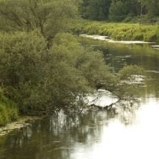
Lippeaue von Wethmar bis Lünen
6.6 km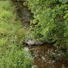
Funneaue
3.2 km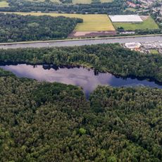
Beversee
6.7 km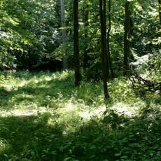
Wälder bei Cappenberg-West
2.8 km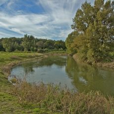
Lippeaue von Stockum bis Werne
6.7 km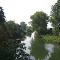
Lippeaue von Werne bis Heil
4.8 km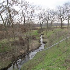
Landschaftsschutzgebiet Geist und Hof Schulze Wethmar, nördlich der Lippe, südlich der Münsterstraße, östlich der Eisenhütte Westfalia
6.1 km
Beversee
6.7 km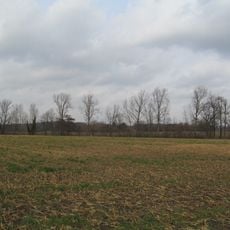
Landschaftsschutzgebiet Weege, Beckhof, nördlich der Münsterstraße, südlich der Bahnlinie und beiderseits des Kiliansbaches
5.3 km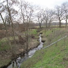
Landschaftsschutzgebiet Nr. 8
5 km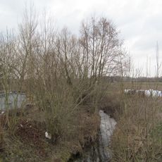
Landschaftsschutzgebiet Nr. 3
1.7 km
Wälder bei Cappenberg
3.1 kmReviews
Visited this place? Tap the stars to rate it and share your experience / photos with the community! Try now! You can cancel it anytime.
Discover hidden gems everywhere you go!
From secret cafés to breathtaking viewpoints, skip the crowded tourist spots and find places that match your style. Our app makes it easy with voice search, smart filtering, route optimization, and insider tips from travelers worldwide. Download now for the complete mobile experience.

A unique approach to discovering new places❞
— Le Figaro
All the places worth exploring❞
— France Info
A tailor-made excursion in just a few clicks❞
— 20 Minutes