
Hirschfelsen, forest reserves in Germany
Location: Breisgau-Hochschwarzwald
Inception: 1975
GPS coordinates: 47.88171,7.96952
Latest update: May 12, 2025 22:31
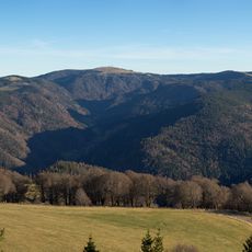
Feldberg
2.8 km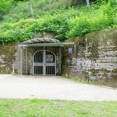
Barbarastollen underground archive
5.3 km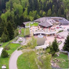
Steinwasen Park
4.1 km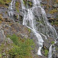
Todtnau Waterfall
4.8 km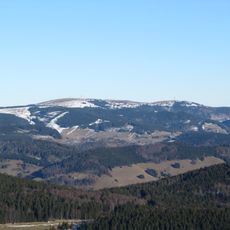
Seebuck
4.4 km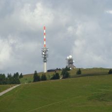
Sender Feldberg
2.7 km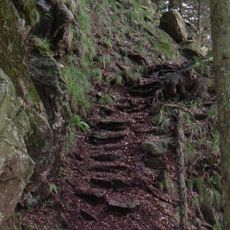
Alpine Path
1.3 km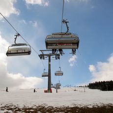
Feldbergbahn
5.4 km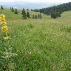
Feldberg
2.7 km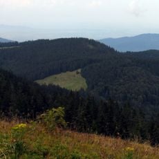
Toter Mann
1.9 km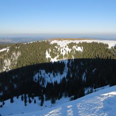
Baldenweger Buck
3.4 km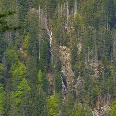
Category:Feldsee-Wasserfall
4.5 km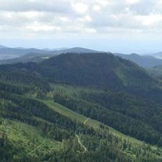
Silberberg
5.3 km
Wilde Schneeburg, Oberried
3.9 km
St. Wilhelmer Hütte
2.4 km
St. Jakobus der Ältere (Todtnauberg)
3.9 km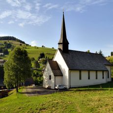
St. Cornelius
4.6 km
Feldberg Tower
4.4 km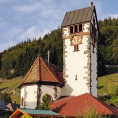
St. Anna
5.4 km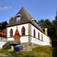
Evangelical Church
4.7 km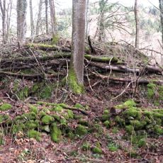
Burg Zasteler Stein, Oberried
4.1 km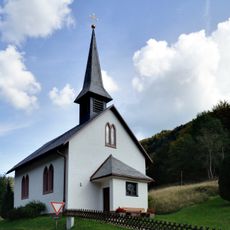
St. Wendelin
4.3 km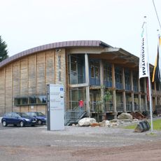
Naturschutzzentrum Südschwarzwald
5.4 km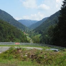
Bannwald Faulbach
3.6 km
Feldberg (Landkreis Breisgau-Hochschwarzwald)
4.5 km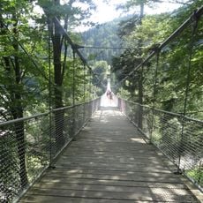
Adolf-Braun-Brücke
4.2 km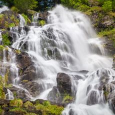
Wasserfall (Todtnauer/Todtnauberger Wasserfall)
4.8 km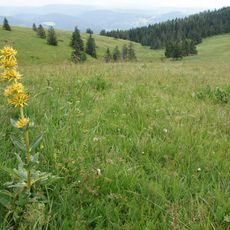
Feldberg (Landkreis Lörrach)
4.2 kmReviews
Visited this place? Tap the stars to rate it and share your experience / photos with the community! Try now! You can cancel it anytime.
Discover hidden gems everywhere you go!
From secret cafés to breathtaking viewpoints, skip the crowded tourist spots and find places that match your style. Our app makes it easy with voice search, smart filtering, route optimization, and insider tips from travelers worldwide. Download now for the complete mobile experience.

A unique approach to discovering new places❞
— Le Figaro
All the places worth exploring❞
— France Info
A tailor-made excursion in just a few clicks❞
— 20 Minutes