
NSG Struth, protected area in the European Union defined by the habitats directive in Rheinland-Pfalz, Germany
Location: Wiebelsheim
Location: Kisselbach
Location: Liebshausen
Location: Perscheid
Inception: 1998
GPS coordinates: 50.05195,7.65620
Latest update: July 31, 2025 10:14
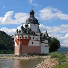
Pfalzgrafenstein Castle
8.6 km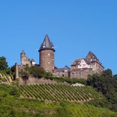
Stahleck Castle
7.8 km
Schönburg
7.7 km
Wernerkapelle Bacharach
8 km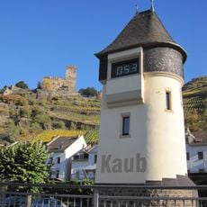
Pegel Kaub
8.6 km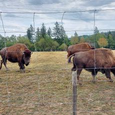
Tierpark Rheinböllen
2.4 km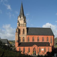
Liebfrauenkirche Oberwesel
7.9 km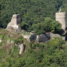
Stahlberg Castle
5.9 km
St. Peter
8 km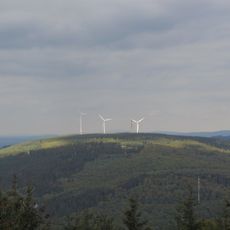
Kandrich
8.2 km
St. Martins-Kirche
7.9 km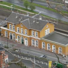
Oberwesel station
8.1 km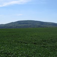
Hochsteinchen
8.3 km
Schönburg
7.7 km
Blüchermuseum Kaub
8.6 km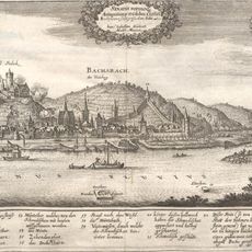
Ara Bacchi
8.5 km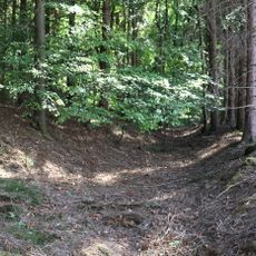
Landwehr
6.5 km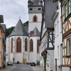
St. Anna (Bacharach-Steeg)
6.4 km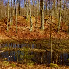
Alte Burg
5.6 km
Evangelische Kirche (Oberwesel)
7.8 km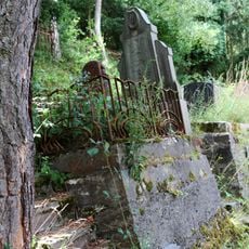
Jüdischer Friedhof
7.3 km
Struth
173 m
Wiesen am Hirtenborn
7 km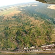
Holzbach
8.5 km
Synagoge (Oberwesel)
8 km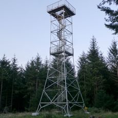
Hochsteinchen Observation Tower
8.3 km
Rheingebiet von Bingen bis Koblenz
7.3 km
Rosengarten auf der Rheinhöhe
8.4 kmReviews
Visited this place? Tap the stars to rate it and share your experience / photos with the community! Try now! You can cancel it anytime.
Discover hidden gems everywhere you go!
From secret cafés to breathtaking viewpoints, skip the crowded tourist spots and find places that match your style. Our app makes it easy with voice search, smart filtering, route optimization, and insider tips from travelers worldwide. Download now for the complete mobile experience.

A unique approach to discovering new places❞
— Le Figaro
All the places worth exploring❞
— France Info
A tailor-made excursion in just a few clicks❞
— 20 Minutes