
Rheinniederung Ludwigshafen-Worms, protected area in the European Union defined by the habitats directive in Rheinland-Pfalz, Germany
Location: Bobenheim-Roxheim
Location: Worms
Location: Kaiserslautern
Inception: 1999
GPS coordinates: 49.59340,8.39472
Latest update: June 10, 2025 05:42
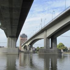
Nibelungenbrücke Worms
4.3 km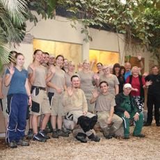
Tiergarten Worms
2.9 km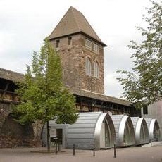
Nibelungen Museum Worms
4.5 km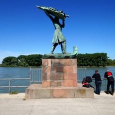
Hagendenkmal
4.6 km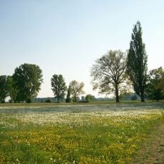
Lampertheimer Altrhein
2.7 km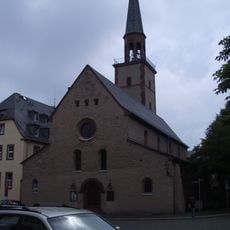
Magnuskirche, Worms
4.7 km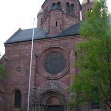
Pauluskirche (Worms)
4.7 km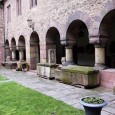
Andreasstift
4.7 km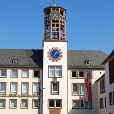
Rathaus Worms
4.7 km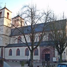
Worms City Museum
4.7 km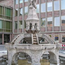
Siegfriedbrunnen
4.7 km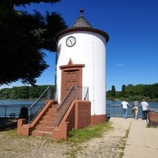
Pegelhaus
4.5 km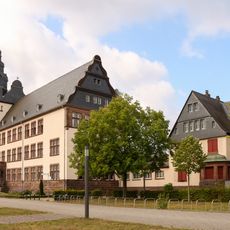
Ernst-Ludwig-Schule
4.4 km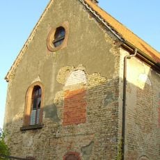
Roxheim synagogue
2.6 km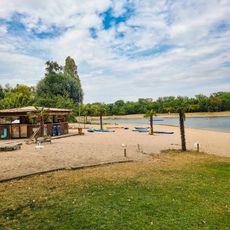
Biedensand Bäder
4.1 km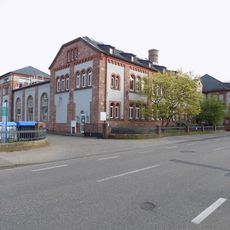
Former electrical power station Worms
4.2 km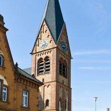
St. Laurentius
2.8 km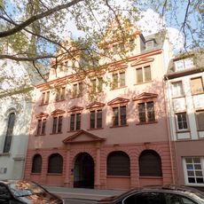
Rotes Haus
4.7 km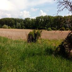
Wormser Ried
2 km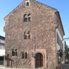
Römerstraße 44
4.6 km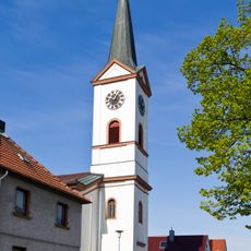
St. Maria Magdalena
2.6 km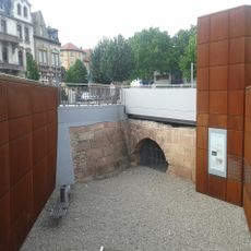
Woogbrücke
4.6 km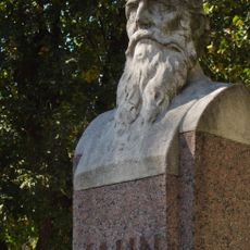
Jahndenkmal
4.2 km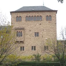
Christoffelturm, Worms
4.7 km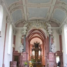
Couvent dominicain de Worms
4.6 km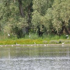
Hinterer Roxheimer Altrhein
2.3 km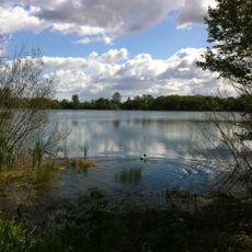
Kräppelweiher
3.7 km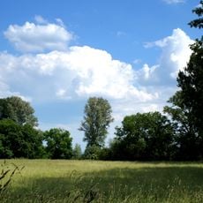
Landschaftsschutzgebiet Hessische Rheinuferlandschaft
2.6 kmReviews
Visited this place? Tap the stars to rate it and share your experience / photos with the community! Try now! You can cancel it anytime.
Discover hidden gems everywhere you go!
From secret cafés to breathtaking viewpoints, skip the crowded tourist spots and find places that match your style. Our app makes it easy with voice search, smart filtering, route optimization, and insider tips from travelers worldwide. Download now for the complete mobile experience.

A unique approach to discovering new places❞
— Le Figaro
All the places worth exploring❞
— France Info
A tailor-made excursion in just a few clicks❞
— 20 Minutes