
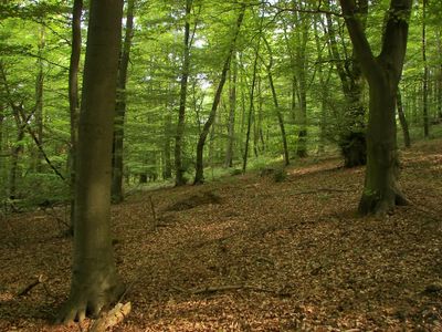
Kellerwald, special protection areas in Hessen, Germany
Location: Schwalm-Eder-Kreis
Inception: 2007
GPS coordinates: 51.01639,9.08417
Latest update: March 4, 2025 18:08
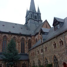
Kloster Haina
7.8 km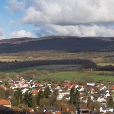
Wüstegarten
57 m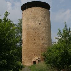
Burg Löwenstein
5.3 km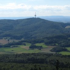
Hohes Lohr
4.6 km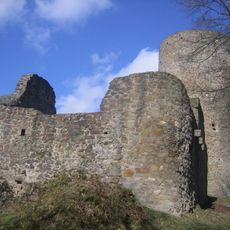
Burg Jesberg
5.2 km
Burgruine Schönstein
4.3 km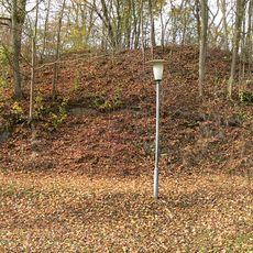
Burgruine Densberg
2.8 km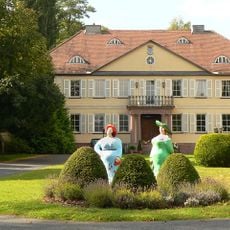
Schloss Zwesten
7.4 km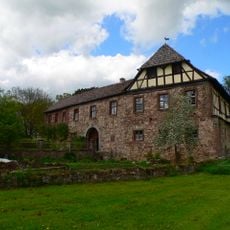
Mittelhof Gilsa
7.6 km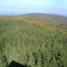
Hunsrück
1.6 km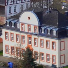
Schloss Jesberg
4.9 km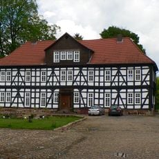
Unterhof Gilsa
7.7 km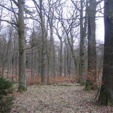
Prinzessingarten (Jesberg)
7 km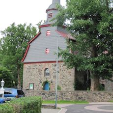
Evangelische Kirche Battenhausen
4.3 km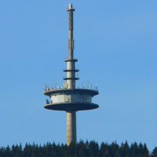
Fernmeldeturm Hohes Lohr
4.6 km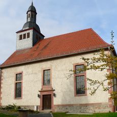
Evangelische Kirche Densberg
2.7 km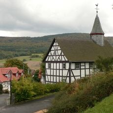
Evangelische Kirche Bergfreiheit
3.9 km
Jüdischer Friedhof
7.2 km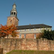
Kirche Bad Zwesten
7.6 km
Evangelische Kirche Armsfeld
4.2 km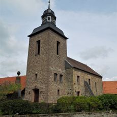
Evangelische Kirche Gilserberg
7.3 km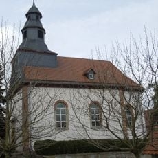
Evangelische Kirche
5.9 km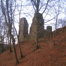
Schloßberg
4.1 km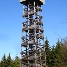
Kellerwald Tower
63 m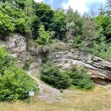
Kieselschieferabbau Kleine Leuchte
3.2 km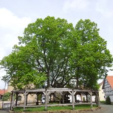
Linde in Sebbeterode
6.3 km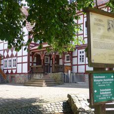
Alte Schule
2.4 km
Jägersburg
7.2 kmReviews
Visited this place? Tap the stars to rate it and share your experience / photos with the community! Try now! You can cancel it anytime.
Discover hidden gems everywhere you go!
From secret cafés to breathtaking viewpoints, skip the crowded tourist spots and find places that match your style. Our app makes it easy with voice search, smart filtering, route optimization, and insider tips from travelers worldwide. Download now for the complete mobile experience.

A unique approach to discovering new places❞
— Le Figaro
All the places worth exploring❞
— France Info
A tailor-made excursion in just a few clicks❞
— 20 Minutes