
Atiwa District, district of Ghana
Location: Eastern Region
Inception: 2004
Shares border with: Kwahu West Municipal District, Kwahu South District
GPS coordinates: 6.31400,-0.59000
Latest update: March 25, 2025 20:23
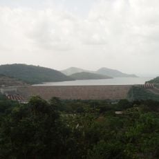
Akosombo Dam
71.9 km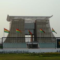
The Flagstaff House
93 km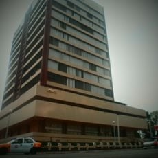
Ghana Stock Exchange
94.7 km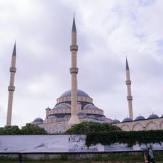
Ghana National Mosque
91.9 km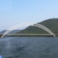
Adome Bridge
76.3 km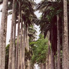
Aburi Botanical Gardens
67.1 km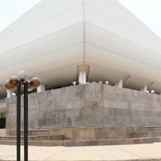
National Theatre of Ghana
95 km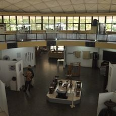
National Museum of Ghana
94 km
Accra Ghana Temple
94 km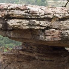
Umbrella Rock
46.6 km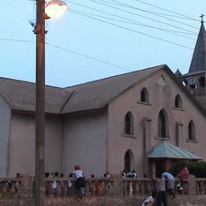
Christ Presbyterian Church, Akropong
67.4 km
Shai Hills Resource Reserve
85.4 km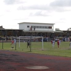
El Wak Stadium
93.2 km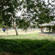
Efua Sutherland Children's Park
94.9 km
Cedi House
94.8 km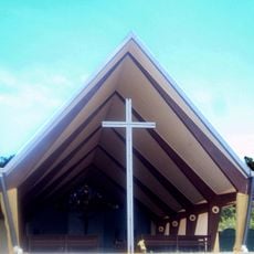
St. Barbara Catholic Church
70.8 km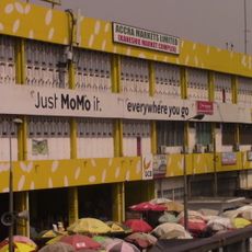
Kaneshie Market
92 km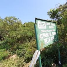
Achimota Forest
87.8 km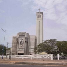
Holy Spirit Cathedral (Accra)
93.8 km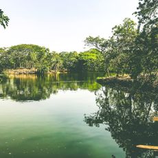
Legon Botanical Gardens
85.4 km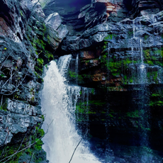
Akaa Falls
46.2 km
Ghana Planetarium
93.6 km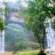
Boti Falls
43.5 km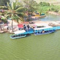
Lakeside Marina Park
85 km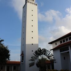
Legon Tower
85.8 km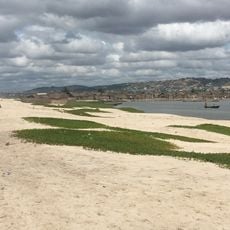
Bojo Beach
94.4 km
Department of Parks and Gardens
43.3 km
Densu Delta Protected Area
93.4 kmReviews
Visited this place? Tap the stars to rate it and share your experience / photos with the community! Try now! You can cancel it anytime.
Discover hidden gems everywhere you go!
From secret cafés to breathtaking viewpoints, skip the crowded tourist spots and find places that match your style. Our app makes it easy with voice search, smart filtering, route optimization, and insider tips from travelers worldwide. Download now for the complete mobile experience.

A unique approach to discovering new places❞
— Le Figaro
All the places worth exploring❞
— France Info
A tailor-made excursion in just a few clicks❞
— 20 Minutes