Agrafa, Mountain range in central Greece
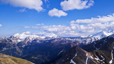
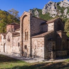
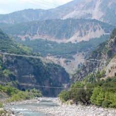
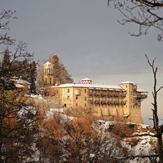
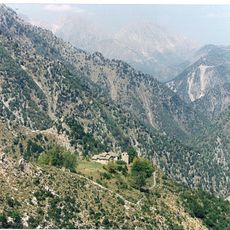
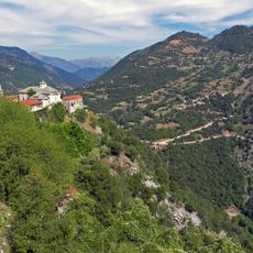
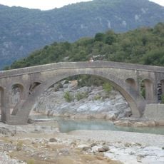
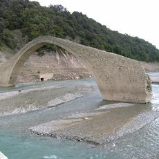
Agrafa is a mountain range in central Greece spanning the regions of Evrytania and Karditsa, with peaks reaching above 2,300 meters. Dense forests of fir, pine, and oak cover the slopes, while the Agrafiotis River cuts through the terrain creating dramatic gorges.
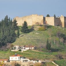
During Ottoman rule beginning in the 16th century, the region secured autonomy through a treaty signed in 1525 that allowed self-governance. This independence meant local communities maintained their own militia and administrative systems for centuries.
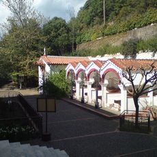
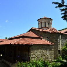
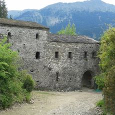
The name Agrafa comes from Greek meaning 'unwritten,' a reference to how the region once escaped official records due to its isolated mountain location. Visitors can still see how communities here maintain traditions tied to this remote past.
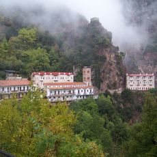
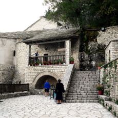
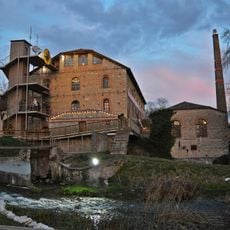
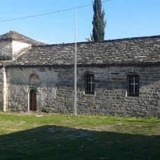
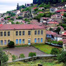
The area contains more than 100 villages connected by ancient hiking trails that offer many entry points for visitors. Most roads are unpaved and require careful navigation, especially in the steeper mountain sections.
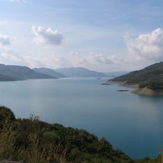
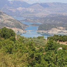
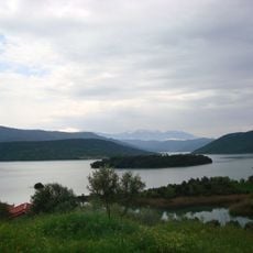
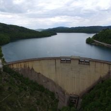
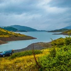
The central Agrafiotis River valley forms a natural fortress, bordered by mountain walls reaching 2,000 meters on three sides. The valley opens toward Lake Kremasta through narrow gorges, creating a striking geographical formation.
The community of curious travelers
AroundUs brings together thousands of curated places, local tips, and hidden gems, enriched daily by 60,000 contributors worldwide.