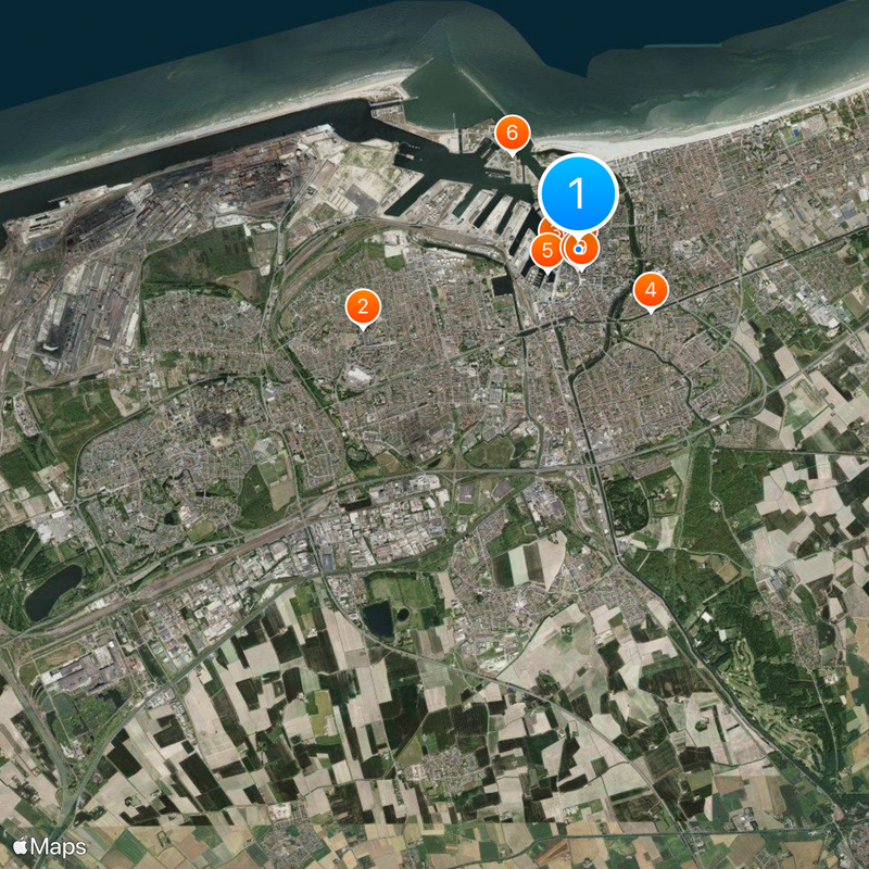
Dunkirk, Port city in Nord, France
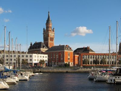
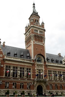
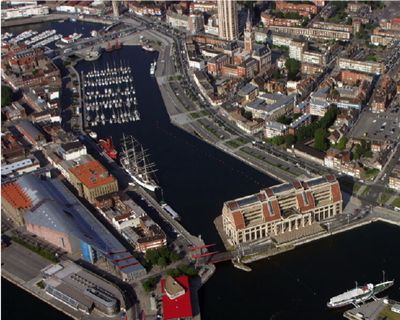
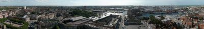
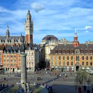
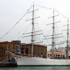
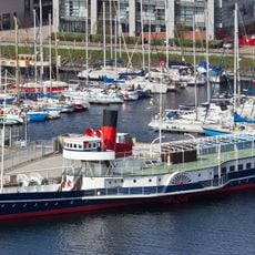
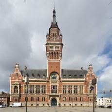
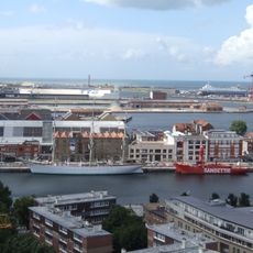
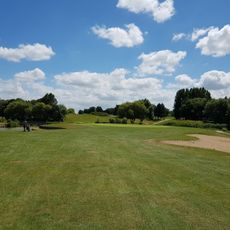
Dunkerque sits on the North Sea coast with a large harbor complex that handles industrial cargo, container shipments, and passenger ferries crossing to England. Residential neighborhoods spread inland from the commercial and administrative center, where shopping streets meet squares lined with cafes and municipal buildings.
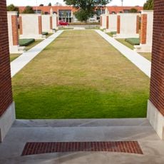
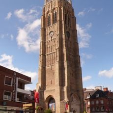
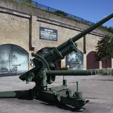
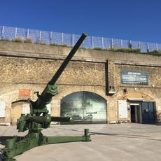
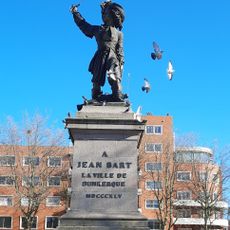
The settlement changed between French, English, Spanish, and Flemish rule until France acquired it permanently in 1662 through purchase from England. In May 1940, Allied forces evacuated more than 300,000 soldiers from the beaches during the German offensive that swept across northern Europe.
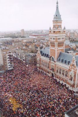
During the winter carnival, masked groups parade through the streets, dancing with colorful umbrellas while singing local songs in choreographed movements. At the fish restaurants near the harbor, locals gather for mussels and fries prepared in traditional styles passed down through generations of seafaring families.
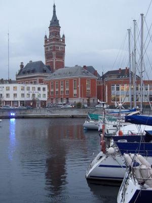
The public transport network offers free bus services across the metropolitan area, linking residential districts with the business center and beach neighborhoods. From the train station, you can walk to the town center and the seafront promenade at Malo-les-Bains in roughly 20 minutes.
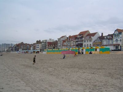
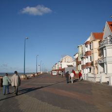
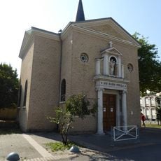
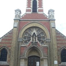
The municipality absorbed six former independent communes, including Malo-les-Bains, Rosendaël, and Petite-Synthe, each retaining its own neighborhood character with distinct architecture and local shops. Along the Malo seafront, Belle Époque villas still stand as reminders of the era when wealthy visitors flocked to seaside resorts for their health and leisure.
The community of curious travelers
AroundUs brings together thousands of curated places, local tips, and hidden gems, enriched daily by 60,000 contributors worldwide.