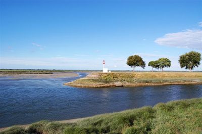
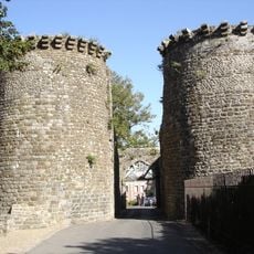
River Somme, Coastal river in Hauts-de-France, France
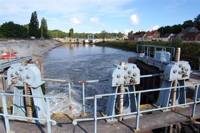
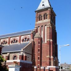
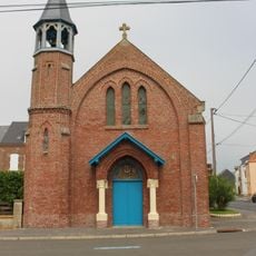
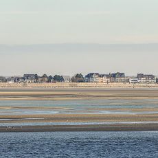
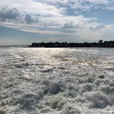
The River Somme is a waterway in Hauts-de-France that flows from inland sources through multiple towns and villages before opening into the English Channel. The river is linked to regional communities through historic canal systems and varies between quiet rural stretches and passages through populated areas.
The waterway was shaped by ancient geological forces that carved deep valleys through the chalk landscape of northern France. The 20th century brought severe military conflict to the region that transformed the land and left lasting marks on how people remember this territory.
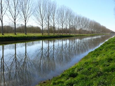
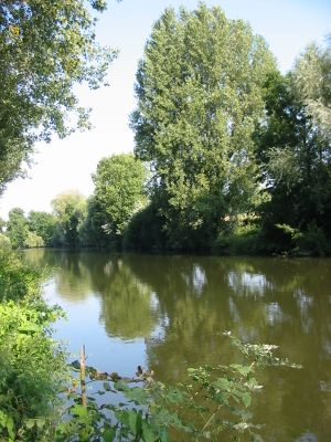
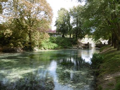
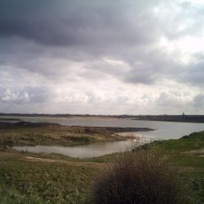
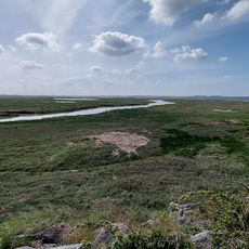
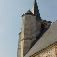
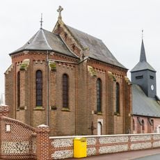
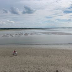
The name derives from ancient Celtic roots connected to ideas of rest and dwelling, shaping how locals view their landscape for generations. Today, the banks serve as gathering places where visitors walk and watch wildlife, with vegetation creating distinct scenes along the waterway.
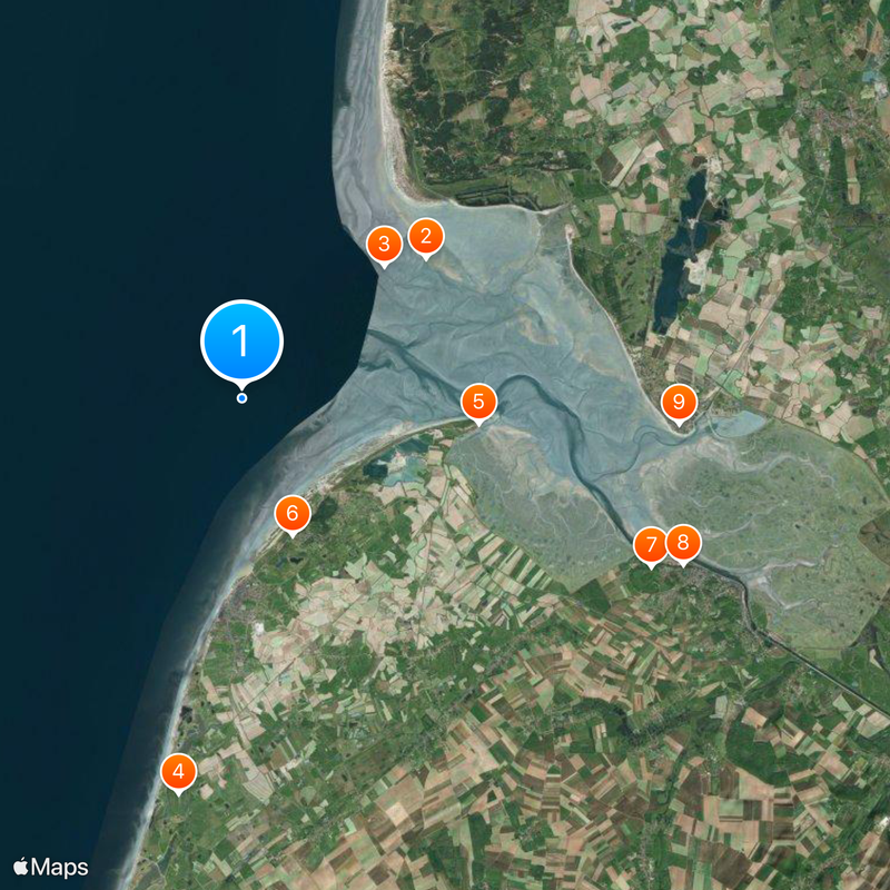
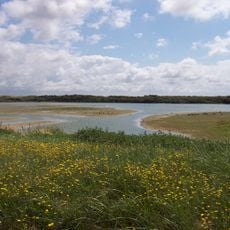
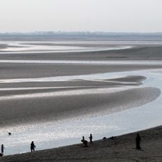
The waterway and surrounding areas offer accessible points where paths allow for walking and viewing along much of its length. Conditions vary with the seasons, particularly after heavy rain when water levels can rise and affect access to certain sections.
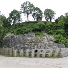
Early humans who lived in this area long ago left behind stone tools that archaeologists still find along the riverbanks today. These discoveries show that people have relied on this waterway and its resources since the earliest periods of human settlement.
The community of curious travelers
AroundUs brings together thousands of curated places, local tips, and hidden gems, enriched daily by 60,000 contributors worldwide.