
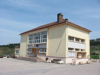
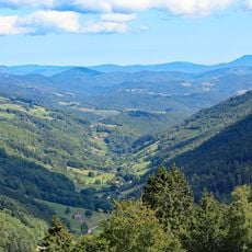
Ban-sur-Meurthe-Clefcy, commune in Vosges, France
Location: canton of Fraize
Location: Vosges
Location: arrondissement of Saint-Dié-des-Vosges
Inception: July 1, 1995
Elevation above the sea: 807 m
Shares border with: Fraize, Plainfaing, Le Valtin, Xonrupt-Longemer, Anould, Gerbépal
Phone: +33329503018
Email: bansurmeurthe-clefcy@orange.fr
Website: http://ban-sur-meurthe-clefcy.com
GPS coordinates: 48.17250,6.97917
Latest update: June 1, 2025 10:57
Route des Crêtes
11.9 km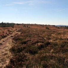
Gazon du Faing
9.9 km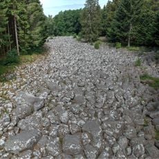
Champ de Roches
10.1 km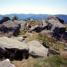
Le Tanet
11.3 km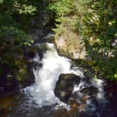
Saut des Cuves
11 km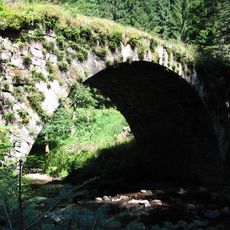
Pont des Fées
11.1 km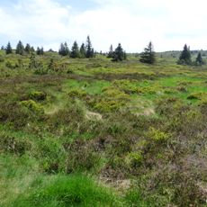
Réserve naturelle nationale du Tanet-Gazon du Faing
9.6 km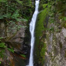
Cascade du Rudlin
8.5 km
Scierie du Lançoir
6.5 km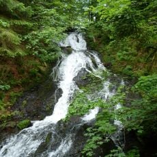
Cascade de Retournemer
12.8 km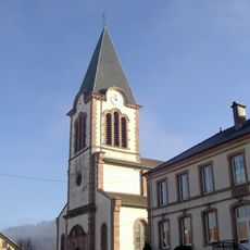
Église Saint-Nicolas de Plainfaing
2.7 km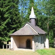
Chapelle Sainte-Anne de Martimpré
9.3 km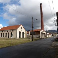
Filature des Aulnes
1.7 km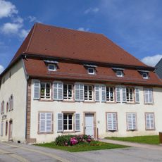
Maison Masson-Wald
2.2 km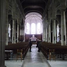
Église Saint-Blaise de Fraize
2.2 km
Scierie du Lançoir
6.5 km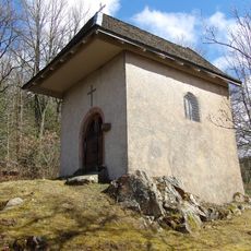
Chapelle Saint-Hubert de Berniprey
865 m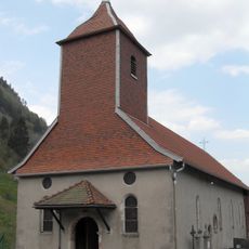
Église Saint-Sylvestre du Valtin
8.9 km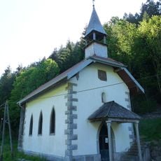
Chapelle Saint-Jean-Baptiste du Rudlin
7.7 km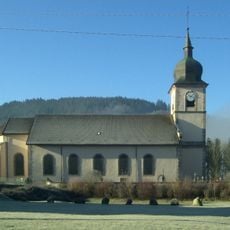
Église Sainte-Agathe de Clefcy
168 m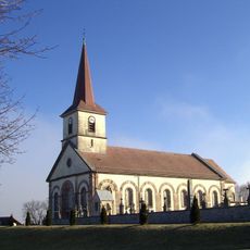
Église Saint-Antoine d'Anould
2.7 km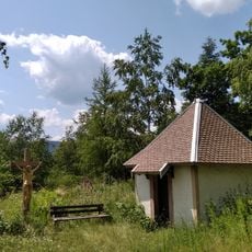
Chapelle du Suisse de Clefcy
812 m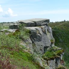
Taubenklangfelsen
10 km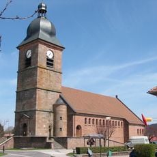
Église Notre-Dame-de-l'Assomption de Corcieux
7.3 km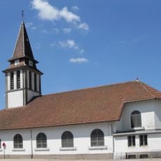
Église Sainte-Bernadette de Xonrupt
10.9 km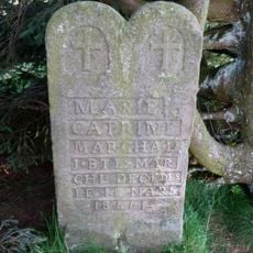
Croix Marchal
11.3 km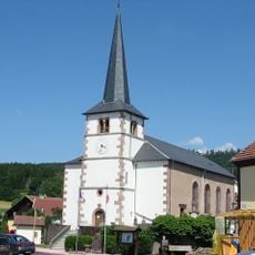
Église Saint-Jean-Baptiste de Gerbépal
4.9 km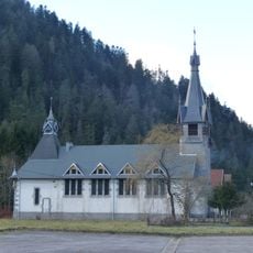
Église Saint-Étienne de Kichompré
11.4 kmVisited this place? Tap the stars to rate it and share your experience / photos with the community! Try now! You can cancel it anytime.
Discover hidden gems everywhere you go!
From secret cafés to breathtaking viewpoints, skip the crowded tourist spots and find places that match your style. Our app makes it easy with voice search, smart filtering, route optimization, and insider tips from travelers worldwide. Download now for the complete mobile experience.

A unique approach to discovering new places❞
— Le Figaro
All the places worth exploring❞
— France Info
A tailor-made excursion in just a few clicks❞
— 20 Minutes