Sainte-Engrâce, Commune in the Pyrénées-Atlantiques, France
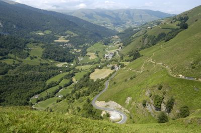
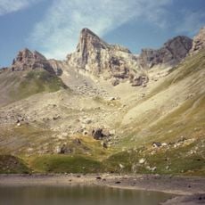
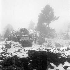
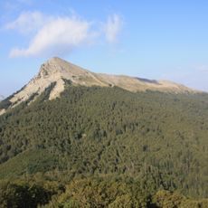
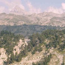
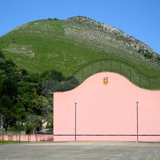
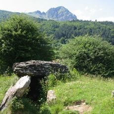
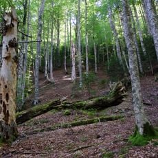
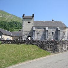
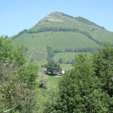
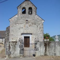
Sainte-Engrâce is a small mountain commune in the Pyrénées-Atlantiques, in the Haute-Soule area of southwestern France. It sits surrounded by deep gorges, forested slopes, and rocky peaks, with simple stone buildings scattered across the landscape.
The village was once a stopping point on the pilgrimage routes to Santiago de Compostela, with an old hospital that received travelers passing through. In the 19th century, many residents left the mountains to seek a better life elsewhere, leaving the community much smaller than it had once been.
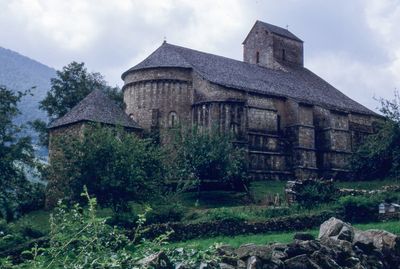
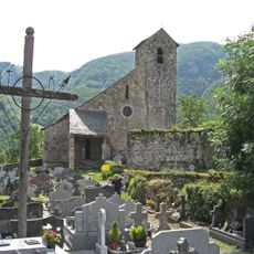
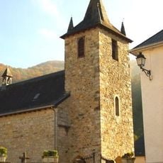
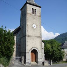
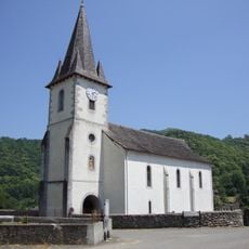
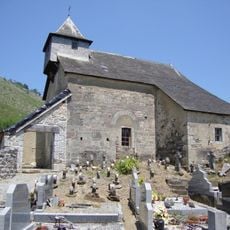
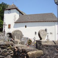
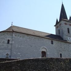
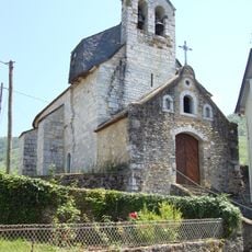
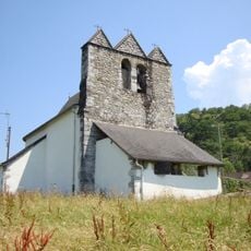
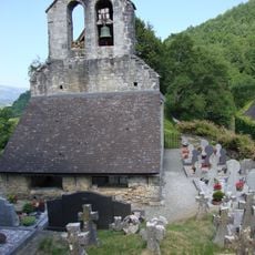
The Romanesque church at the heart of the village has twelve carved stone sculptures on its column capitals, a detail that draws many visitors inside. The small cemetery next to it holds discoid grave markers called steles, a funerary tradition found across the Basque region.
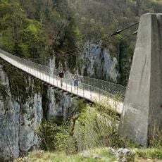
The village sits at the end of a remote mountain valley, reached by winding roads that require care, especially in wet weather. Sturdy footwear is a good idea if you plan to walk any of the trails or visit the gorges nearby.
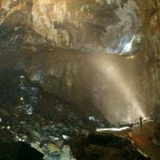
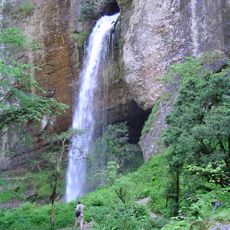
The La Verna cave, found beneath the Pierre-Saint-Martin massif just outside the village, is considered the largest underground chamber open to the public in the world. Its ceiling is so high that clouds can form inside it.
The community of curious travelers
AroundUs brings together thousands of curated places, local tips, and hidden gems, enriched daily by 60,000 contributors worldwide.