Enable Location

We need your location to show you interesting places around you

Discover nearby places

Find interesting locations and hidden gems around you

Precise directions

Get accurate directions and distances to places

Your location is never shared with other users. It's only used when you tap the location button.

Tende

Log in to your account

Start exploring — it's free

Trusted by 62,545 travelers worldwide

Continue with Google
Continue with Apple
or

We will send you a code to connect

By continuing, you accept our Terms and Conditions and our Privacy Policy

Check your inbox

We've sent a pincode in your inbox. Please enter the code below.

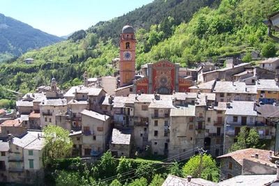
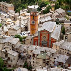
Tende, Mountain commune in Alpes-Maritimes, France

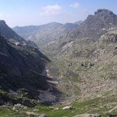
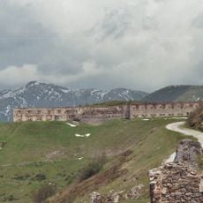
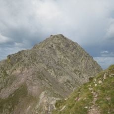
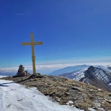
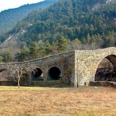
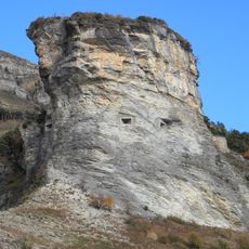
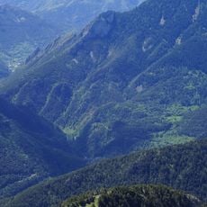
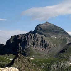
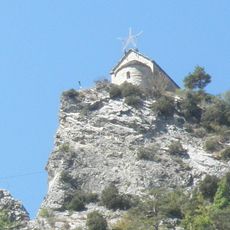
Tende is a mountain commune in the Alpes-Maritimes region situated at about 816 meters elevation within Mercantour National Park. The area spans 177 square kilometers across Alpine and Mediterranean terrain.

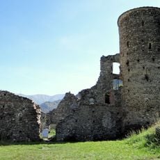
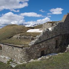
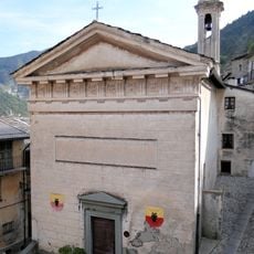
This territory belonged to the Kingdom of Sardinia-Piedmont until 1947, when it became part of France following the Paris Peace Treaties. The border shift linked centuries of Italian history with French administration.

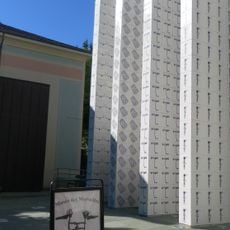
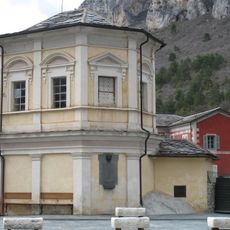
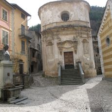
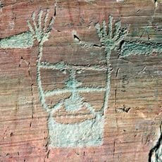
The Museum of Marvels displays prehistoric rock engravings found in the surrounding valleys, showing how people have lived in these mountains for thousands of years. The collections reveal the deep connection between the residents and their Alpine landscape.

Three railway stations link Tende to Nice and Turin via mountain routes operated by both French and Italian railways. The rail connections make the location accessible despite its remote position.

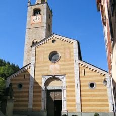
Local residents speak Tendasque, a dialect blending Ligurian and Provençal elements. This speech pattern mirrors the area's history as a frontier between Italian and French territories.

The community of curious travelers

AroundUs brings together thousands of curated places, local tips, and hidden gems, enriched daily by 60,000 contributors worldwide.

Start exploring
Location
Location
Elevation above the sea
1,676 m
Shares border with
Belvédère, Fontan, Saorge, La Brigue, Briga Alta, Limone Piemonte
Phone
GPS coordinates
44.08778,7.59361
Latest update
December 20, 2025 00:42
« Tende - Mountain commune in Alpes-Maritimes, France » is provided by Around Us (aroundus.com). Images and texts are derived from Wikimedia project under a Creative Commons license. You are allowed to copy, distribute, and modify copies of this page, under the conditions set by the license, as long as this note is clearly visible.

Discover hidden gems everywhere you go!

From secret cafés to breathtaking viewpoints, skip the crowded tourist spots and find places that match your style. Our app makes it easy with voice search, smart filtering, route optimization, and insider tips from travelers worldwide. Download now for the complete mobile experience.

Around Us App Screenshot

A unique approach to discovering new places

Le Figaro

All the places worth exploring

France Info

A tailor-made excursion in just a few clicks

20 Minutes

Around Us
Travel Guide & Maps
Download

Send to your phone

QR Code
1

Open the camera app on your mobile.

2

Point at the QR code with your camera. A notification will appear.

3

Tap the notification to open the link.