Levie, Administrative division in Corsica, France
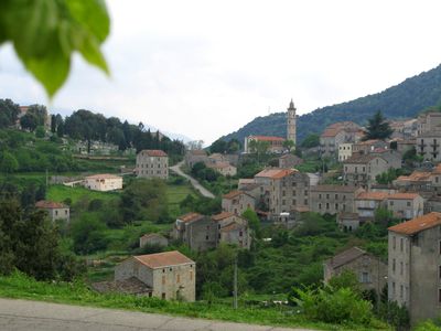
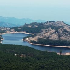
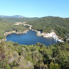
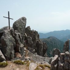
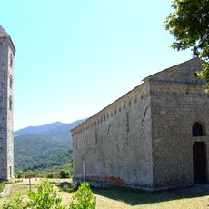
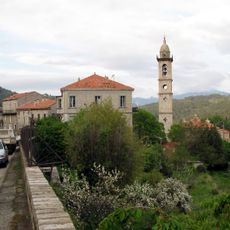
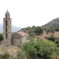
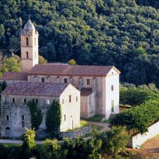
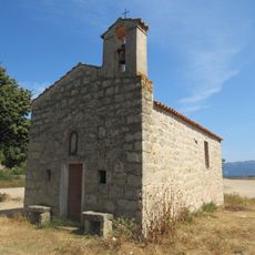
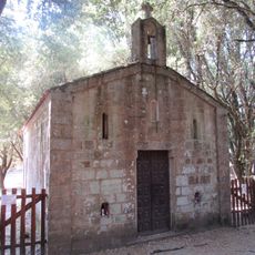
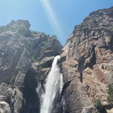
Levie is an administrative division in southern Corsica that covers terrain at varying elevations across several municipalities. The territory ranges from sea level to over 1,400 meters and encompasses multiple communities within its boundaries.
The territory took shape through the administrative development of southern Corsica and has played a central role in managing the region since its founding. Its structure has been adjusted several times, most recently during early 2000s administrative reforms that reshaped its boundaries and administrative functions.
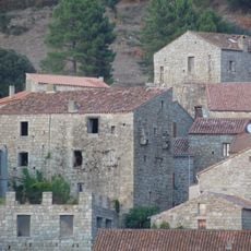
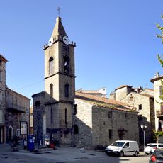
The place carries a dual name: Levie in French and Levia in Corsican, reflecting how the regional language remains embedded in everyday life here. This linguistic duality shapes the local identity and appears in signage and community references throughout the area.
The division spans a large area with different elevations, so conditions vary significantly depending on location and season. Visitors should expect different climates and weather patterns, as lower areas are warmer than the higher communities in the interior.
The territory was merged into the Grand Sud canton in 2015, marking a major restructuring of its administrative responsibilities and local services. This consolidation changed how multiple communities work together and organize their public services.
The community of curious travelers
AroundUs brings together thousands of curated places, local tips, and hidden gems, enriched daily by 60,000 contributors worldwide.