Enable Location

We need your location to show you interesting places around you

Discover nearby places

Find interesting locations and hidden gems around you

Precise directions

Get accurate directions and distances to places

Your location is never shared with other users. It's only used when you tap the location button.

Sare

Log in to your account

Start exploring — it's free

Trusted by 61,950 travelers worldwide

Continue with Google
Continue with Apple
or

We will send you a code to connect

By continuing, you accept our Terms and Conditions and our Privacy Policy

Check your inbox

We've sent a pincode in your inbox. Please enter the code below.

Sare, commune in Pyrénées-Atlantiques, France

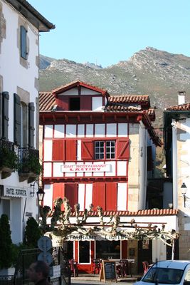
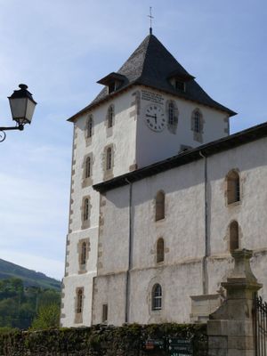
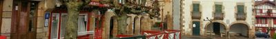
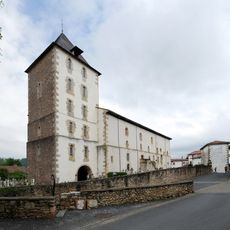
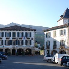
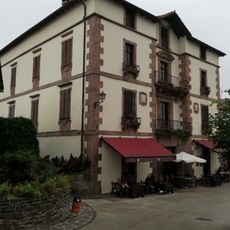
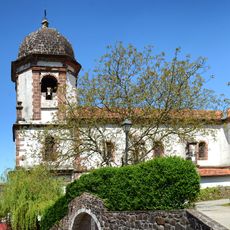
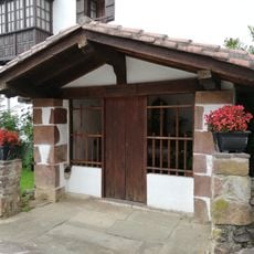
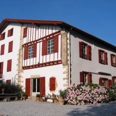
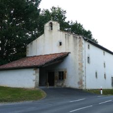
Sare is a small village in the Pyrenees-Atlantiques in southwestern France, located at the foot of the mountains Axuria and Rhune. It features old stone houses, many dating from the 15th century, showing typical Basque architecture with exposed wooden beams and facades painted in red or green.

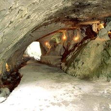
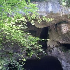
Sare was inhabited in prehistoric times, particularly during the Aurignacian period more than 30000 years ago, as evidenced by the Lezea cave. Over the centuries, the village maintained pastoral and trade agreements with neighboring Spanish communities, but experienced hardship during the French Revolution when its population was deported in 1794.

The name Sare comes from Basque and means 'high place,' reflecting its hillside location and historical role as a local center. Local traditions remain alive through festivals featuring music, dances, and regional food passed down through generations, as well as through pelota, a Basque ball game played in open courts.

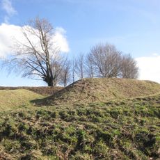
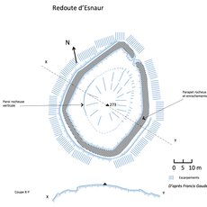
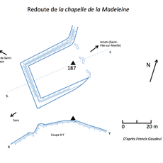
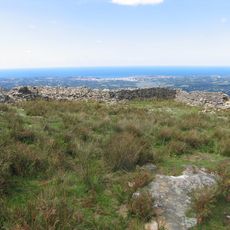
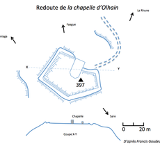
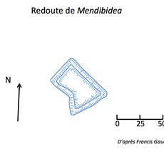
The village is easily explored on foot and offers various hiking trails into the surrounding mountains for all fitness levels. Nearby peaks like Rhune are accessible by a cog railway built in the 1920s, which provides access to historic fortifications at the top.

The village is known for its hidden history of smuggling across mountain trails between the hills and the coast, with routes still bearing traces of this overlooked past. Additionally, isolated farmsteads scattered around the village have traditionally managed their own lands and shared resources, giving the place a unique, dispersed settlement pattern.

The community of curious travelers

AroundUs brings together thousands of curated places, local tips, and hidden gems, enriched daily by 60,000 contributors worldwide.

Start exploring
Location
Elevation above the sea
201 m
Shares border with
Ascain, Saint-Pée-sur-Nivelle, Urrugne, Baztan, Bera, Etxalar
Phone
GPS coordinates
43.31278,-1.58028
Latest update
February 5, 2026 13:33
« Sare - commune in Pyrénées-Atlantiques, France » is provided by Around Us (aroundus.com). Images and texts are derived from Wikimedia project under a Creative Commons license. You are allowed to copy, distribute, and modify copies of this page, under the conditions set by the license, as long as this note is clearly visible.

Discover hidden gems everywhere you go!

From secret cafés to breathtaking viewpoints, skip the crowded tourist spots and find places that match your style. Our app makes it easy with voice search, smart filtering, route optimization, and insider tips from travelers worldwide. Download now for the complete mobile experience.

Around Us App Screenshot

A unique approach to discovering new places

Le Figaro

All the places worth exploring

France Info

A tailor-made excursion in just a few clicks

20 Minutes

Around Us
Travel Guide & Maps
Download

Send to your phone

QR Code
1

Open the camera app on your mobile.

2

Point at the QR code with your camera. A notification will appear.

3

Tap the notification to open the link.