Enable Location

We need your location to show you interesting places around you

Discover nearby places

Find interesting locations and hidden gems around you

Precise directions

Get accurate directions and distances to places

Your location is never shared with other users. It's only used when you tap the location button.

Auris

Log in to your account

Start exploring — it's free

Trusted by 65,355 travelers worldwide

Continue with Google
Continue with Apple
or

We will send you a code to connect

By continuing, you accept our Terms and Conditions and our Privacy Policy

Check your inbox

We've sent a pincode in your inbox. Please enter the code below.

Discussion Reviews 2 Photos
4.4k Popularity

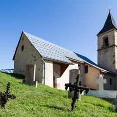
Auris, Mountain commune in Isère, France

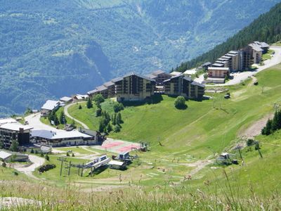
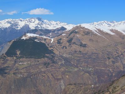
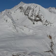
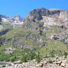
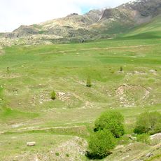
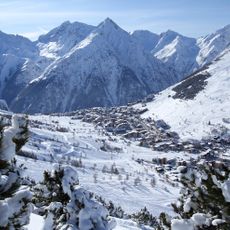
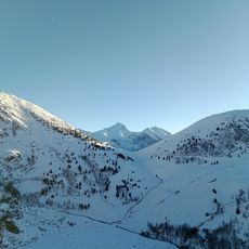
Auris is a mountain commune in the Isère department, sitting at roughly 4,250 feet (about 1,300 meters) above sea level in the French Alps. The village is made up of a handful of small hamlets spread across a hillside plateau overlooking the Romanche valley below.

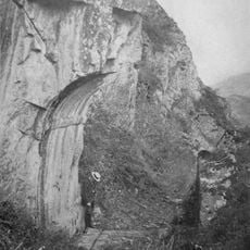
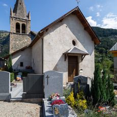
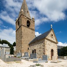
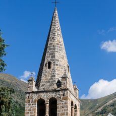
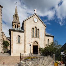
The settlement appears in written records as far back as 1076 and takes its name from Saint Julian, the patron saint of the parish. The village remained a small farming and herding community for centuries before the growth of ski tourism in the 20th century brought new activity to the area.

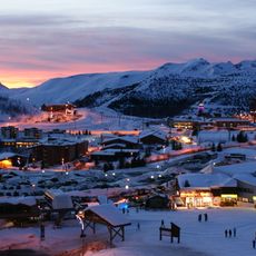
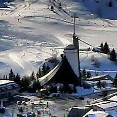
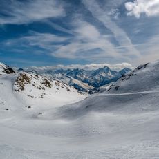
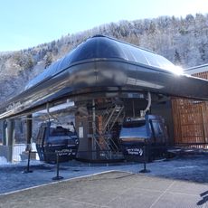
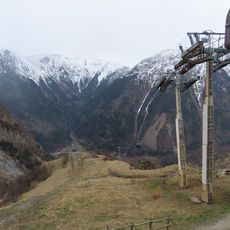
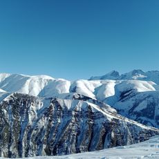
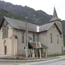
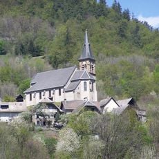
Auris is part of the Alpe d'Huez ski area, one of the most visited winter sport destinations in the French Alps. In winter, the village takes on the rhythm of a ski resort, with activity centered around the slopes just above the old stone houses.

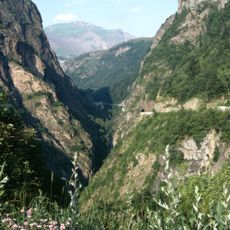
The village is reached by winding mountain roads that can be difficult in winter, so checking road conditions before setting off is a good idea. Outside the ski season, the area is much quieter and several local services may be closed.

In the mid-1800s, nearly 800 people lived in Auris, and many of them spent winters travelling through France and beyond as door-to-door traders selling small goods. This seasonal migration away from the mountains was a common way for alpine villagers to earn money when farming was impossible.

The community of curious travelers

AroundUs brings together thousands of curated places, local tips, and hidden gems, enriched daily by 60,000 contributors worldwide.

Start exploring
Location
Elevation above the sea
1,444 m
Shares border with
Clavans-en-Haut-Oisans, Le Bourg-d'Oisans, Le Freney-d'Oisans, La Garde, Huez, Les Deux Alpes
Phone
GPS coordinates
45.04639,6.08667
Latest update
March 3, 2026 10:06
Reviews
Share your experience

No review yet

Discussions
Start a discussion...

No discussion yet

« Auris - Mountain commune in Isère, France » is provided by Around Us (aroundus.com). Images and texts are derived from Wikimedia project under a Creative Commons license. You are allowed to copy, distribute, and modify copies of this page, under the conditions set by the license, as long as this note is clearly visible.

Discover hidden gems everywhere you go!

From secret cafés to breathtaking viewpoints, skip the crowded tourist spots and find places that match your style. Our app makes it easy with voice search, smart filtering, route optimization, and insider tips from travelers worldwide. Download now for the complete mobile experience.

Around Us App Screenshot

A unique approach to discovering new places

Le Figaro

All the places worth exploring

France Info

A tailor-made excursion in just a few clicks

20 Minutes

Around Us
Travel Guide & Maps
Download

Send to your phone

QR Code
1

Open the camera app on your mobile.

2

Point at the QR code with your camera. A notification will appear.

3

Tap the notification to open the link.