Enable Location

We need your location to show you interesting places around you

Discover nearby places

Find interesting locations and hidden gems around you

Precise directions

Get accurate directions and distances to places

Your location is never shared with other users. It's only used when you tap the location button.

Modane

Log in to your account

Start exploring — it's free

Trusted by 61,980 travelers worldwide

Continue with Google
Continue with Apple
or

We will send you a code to connect

By continuing, you accept our Terms and Conditions and our Privacy Policy

Check your inbox

We've sent a pincode in your inbox. Please enter the code below.

Modane, Mountain commune in Savoie, France

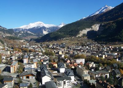
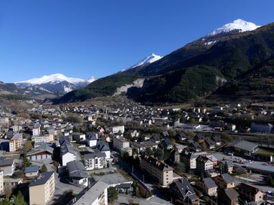
Modane is a mountain commune spread across the Maurienne Valley between the Vanoise and Mont-Cenis massifs, with the Arc river running through its center. The settlement sits around 1000 meters elevation and combines residential areas with major transport corridors.

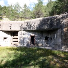
The commune underwent major change after the 1871 Mont-Cenis railway tunnel was built, connecting France with Italy. This project led to increased immigration from Italy and established its role as a significant border town.

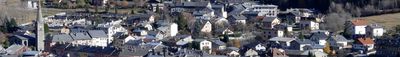
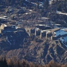
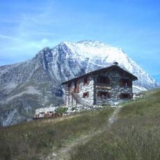
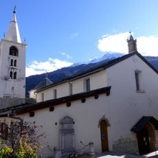
The Chapel of Saint-Jacques and the leaning house show building traditions typical of Savoie with local construction methods. These structures shape the town's appearance today and reflect the region's craft heritage.

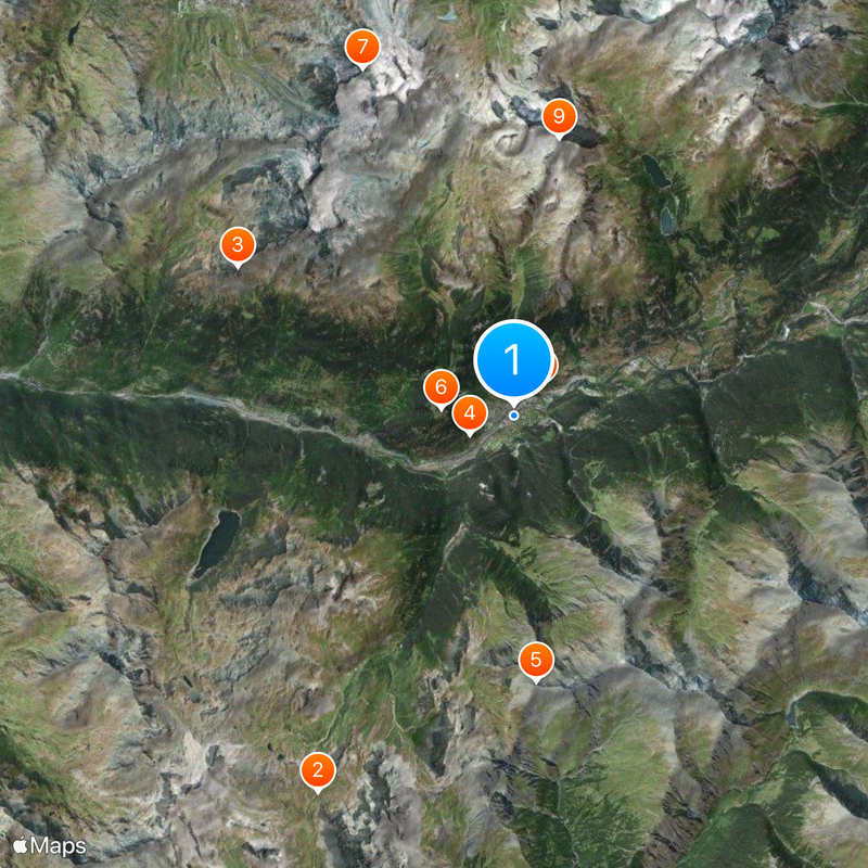
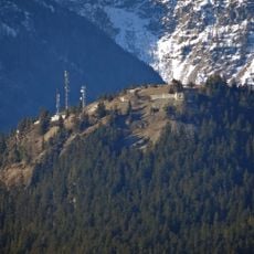
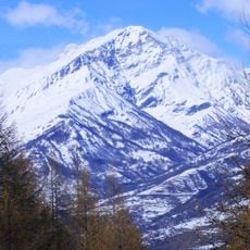
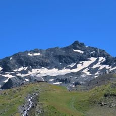
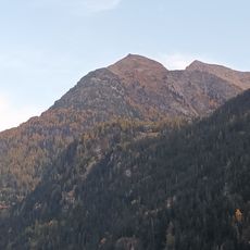
An international railway station connects directly to Italy through the Fréjus tunnel and serves as an important transport hub. Surrounding areas offer multiple ski resorts and extensive options for hiking and outdoor activities.

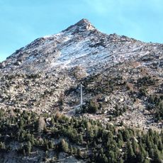
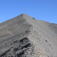
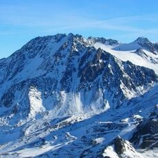
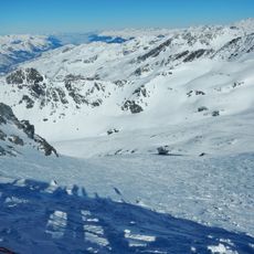
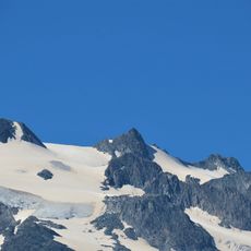
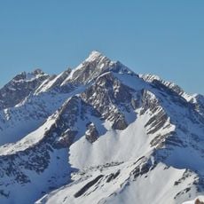
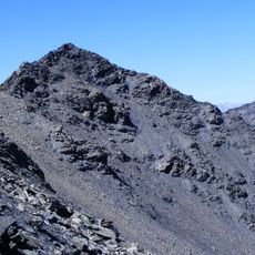
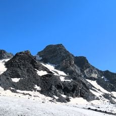
The terrain varies dramatically between 1,054 and 3,560 meters elevation, creating unusual conditions for different activities. This elevation difference allows both summer hiking and winter sports to exist in the same area.

The community of curious travelers

AroundUs brings together thousands of curated places, local tips, and hidden gems, enriched daily by 60,000 contributors worldwide.

Start exploring
Location
Elevation above the sea
2,275 m
Shares border with
Névache, Bardonecchia, Les Allues, Avrieux, Fourneaux, Freney, Orelle, Pralognan-la-Vanoise, Saint-André, Les Belleville, Villarodin-Bourget
Phone
GPS coordinates
45.20139,6.67333
Latest update
December 19, 2025 22:41
« Modane - Mountain commune in Savoie, France » is provided by Around Us (aroundus.com). Images and texts are derived from Wikimedia project under a Creative Commons license. You are allowed to copy, distribute, and modify copies of this page, under the conditions set by the license, as long as this note is clearly visible.

Discover hidden gems everywhere you go!

From secret cafés to breathtaking viewpoints, skip the crowded tourist spots and find places that match your style. Our app makes it easy with voice search, smart filtering, route optimization, and insider tips from travelers worldwide. Download now for the complete mobile experience.

Around Us App Screenshot

A unique approach to discovering new places

Le Figaro

All the places worth exploring

France Info

A tailor-made excursion in just a few clicks

20 Minutes

Around Us
Travel Guide & Maps
Download

Send to your phone

QR Code
1

Open the camera app on your mobile.

2

Point at the QR code with your camera. A notification will appear.

3

Tap the notification to open the link.