Le Sappey-en-Chartreuse, Mountain commune in Isère, France
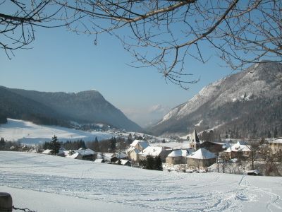
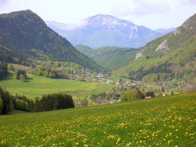
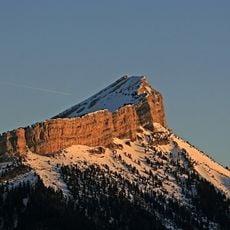
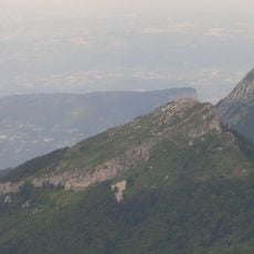
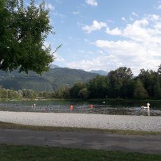
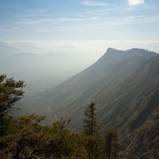
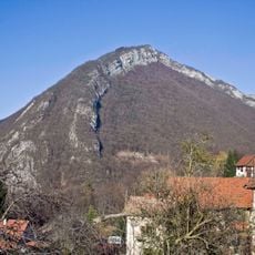
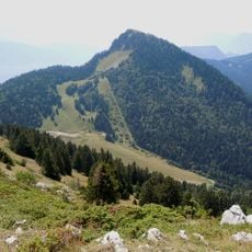
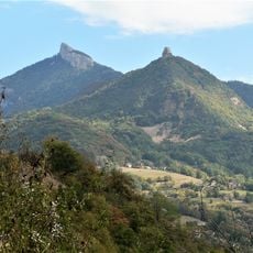
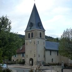
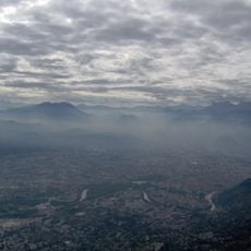
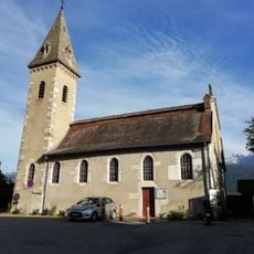
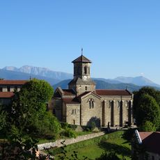
Le Sappey-en-Chartreuse is a mountain village in the Chartreuse range of southeastern France, situated at elevations between 840 and 2,079 meters. The commune spreads across wooded slopes and alpine meadows, with buildings clustered around central areas and local services scattered throughout.
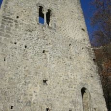
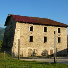
This mountain location developed over centuries as a small settlement within the Chartreuse range, with local residents historically depending on farming and forestry. The area has grown since the mid-twentieth century as more people sought the mountain setting and peaceful surroundings.
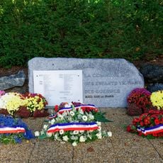
The community here gathers for local events and celebrations that bring people together throughout the year. The place serves as a hub where residents and visitors connect through shared mountain traditions and social activities.
The village is accessible by car or local transport, though winter roads can be snow-covered and require careful driving. Visitors should bring warm clothing and check weather conditions, as mountain weather can change quickly throughout the day.
The commune operates live webcams that display real-time views of the surrounding mountain landscape, allowing visitors to explore the area online before or during their visit. These cameras offer an unusual way to watch the changing seasons and weather patterns throughout the year.
Location: Isère
Location: arrondissement of Grenoble
Elevation above the sea: 1,206 m
Shares border with: Saint-Pierre-de-Chartreuse, Biviers, Corenc, Meylan, Quaix-en-Chartreuse, Saint-Ismier, Sarcenas
Phone: +33476888051
Email: accueil@sappey-mairie.fr
Website: http://sappey-mairie.fr
GPS coordinates: 45.26250,5.77806
Latest update: December 6, 2025 17:40
Grenoble sits in the Isère River valley, surrounded by three mountain ranges in the French Alps. The city combines alpine landscape with urban infrastructure and serves as a base for exploring the surrounding mountain regions. The Fort de la Bastille, accessible via a historic cable car, provides...
Chamechaude
2.9 km
Fort du Saint-Eynard
3.3 km
Base de loisirs du Bois Français
6.3 km
Château de Bouquéron
5.6 km
Fort du Bourcet
4.2 km
Pinéa
4.2 km
Centre balnéaire du Bois Français
6.4 km
Manival
5.4 km
Tour d'Arces
3 km
Château de Serviantin
4 km
L'Écoutoux
1.9 km
Maison forte de la Veyrie
6.6 km
Château Corbeau
3.5 kmÉglise Saint-Philibert
4.1 km
Bec Charvet
5.5 km
Chapelle du Maréchal Randon
4.3 km
Aiguille de Quaix
4.5 km
Église du Sappey-en-Chartreuse
248 m
Église Saint-Jean-Baptiste de Quaix-en-Chartreuse
4.8 km
Croix de l'Izon
3.2 km
Fort du Saint-Eynard
3.3 km
Église Saint-Victor de Meylan
3.9 km
Chapelle de l'Institution Montfleury de Corenc
6 km
Église Saint-Jean-Baptiste de Saint-Nazaire-les-Eymes
6 km
Église Saint-Pierre de Corenc
5 km
Prieuré Saint-Martin-de-Miséré
4.9 km
Monument aux morts de Meylan
5.9 km
Chapelle Saint-Jean-Bosco de Meylan
5.4 kmVisited this place? Tap the stars to rate it and share your experience / photos with the community! Try now! You can cancel it anytime.
Discover hidden gems everywhere you go!
From secret cafés to breathtaking viewpoints, skip the crowded tourist spots and find places that match your style. Our app makes it easy with voice search, smart filtering, route optimization, and insider tips from travelers worldwide. Download now for the complete mobile experience.
A unique approach to discovering new places❞
— Le Figaro
All the places worth exploring❞
— France Info
A tailor-made excursion in just a few clicks❞
— 20 Minutes