Cap Corse, Peninsula at northern tip of Corsica, France
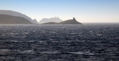
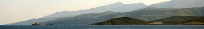
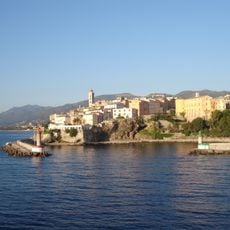
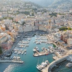
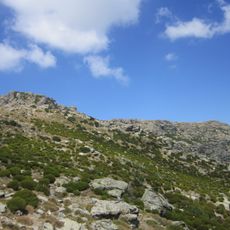
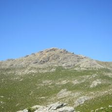
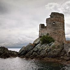
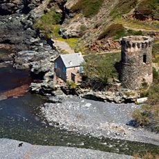
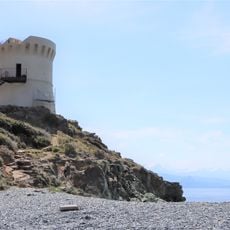
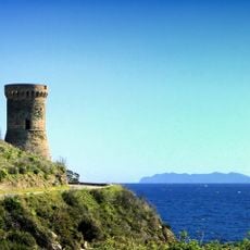
Cap Corse is a narrow peninsula extending about 40 kilometers northward from the tip of Corsica into the Mediterranean Sea. Its western edge features steep cliffsides, while the eastern coast is dotted with small fishing harbors tucked into natural bays.
This northernmost point was known to the ancients as Sacrum Promontorium and was home to the Vanacini people who left records of their presence. The region played its role in the broader Roman world and saw various coastal peoples establish themselves along its shores.
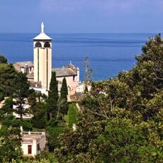
Small villages scattered across the landscape produce Muscat wine and olive oil using traditional methods that have been handed down through generations of local families.
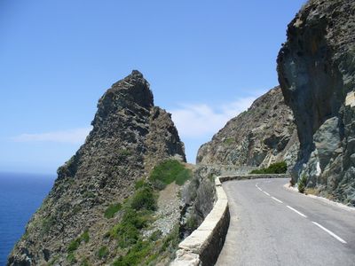
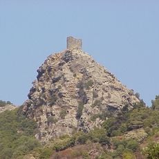
The road circling this peninsula is narrow and winding, so careful driving is needed and it is best to allow plenty of time for the journey. Several viewpoints along the route offer stops to rest and photograph the coastal views.
A bronze inscription found here shows that the local Vanacini people once communicated directly with a Roman emperor to discuss land matters. This rare document offers a window into how remote communities engaged with central authority during the Roman period.
The community of curious travelers
AroundUs brings together thousands of curated places, local tips, and hidden gems, enriched daily by 60,000 contributors worldwide.