
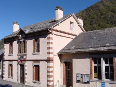
Betpouey, commune in Hautes-Pyrénées, France
Location: canton of Luz-Saint-Sauveur
Location: Hautes-Pyrénées
Location: arrondissement of Argelès-Gazost
Elevation above the sea: 1,824 m
Shares border with: Viey, Luz-Saint-Sauveur, Sers, Viella, Barèges
Website: http://betpouey.com
GPS coordinates: 42.88139,0.03306
Latest update: May 25, 2025 13:43
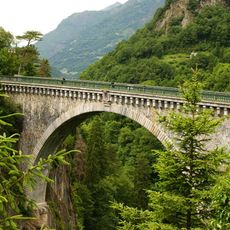
Napoléon bridge
4.1 km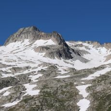
Pic de Néouvielle
8.4 km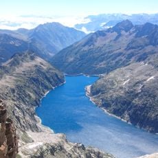
Lac de Cap-de-Long
10.1 km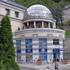
Station thermale de Barèges
3.2 km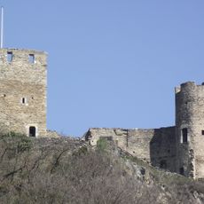
Château de Sainte-Marie
2.7 km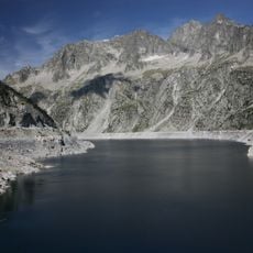
Turon de Néouvielle
8.5 km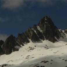
Pic Ramougn
8.8 km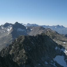
Trois Conseillers
8.6 km
Pic Maubic
10.4 km
Pic de Crabounouse
9.8 km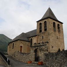
Église Saint-Nicolas d'Esquièze
3 km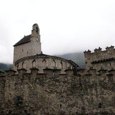
Église des templiers, Luz-Saint-Sauveur
3.2 km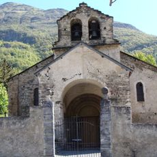
Église Saint-Jean-Baptiste de Sère
3.3 km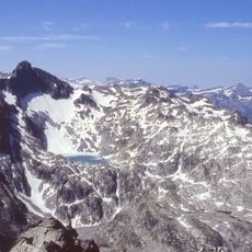
Agulla Tourrat
10.3 km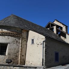
Église Saint-Vincent de Sers
753 m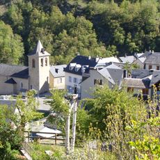
Église Saint-Michel de Viella
1.7 km
Punta Reboul Vidal
8.6 km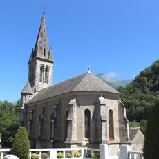
Église Saint-Joseph de Luz-Saint-Sauveur
4 km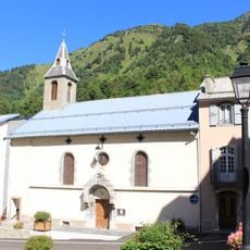
Église Saint-Laurent de Barèges
3.1 km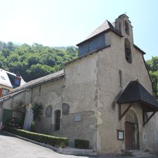
Église Saint-Étienne d'Esterre
2.3 km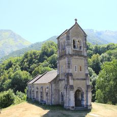
Chapelle de Solférino de Luz-Saint-Sauveur
3.6 km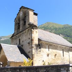
Église Notre-Dame-de-l'Assomption de Sassis
4 km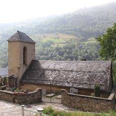
Église Saint-Sylvestre de Viey
779 m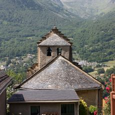
ÉgIise Saint-Michel de Vizos
3.9 km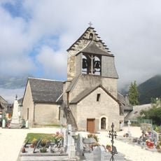
Église Saint-Sébastien de Betpouey
68 m
Thermes de Saint-Sauveur
4.1 km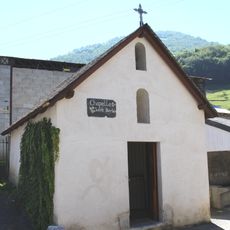
Chapelle Sainte-Barbe de Luz-Saint-Sauveur
3.2 km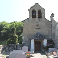
Chapelle Notre-Dame-de-la-Pitié de Villenave
2.8 kmVisited this place? Tap the stars to rate it and share your experience / photos with the community! Try now! You can cancel it anytime.
Discover hidden gems everywhere you go!
From secret cafés to breathtaking viewpoints, skip the crowded tourist spots and find places that match your style. Our app makes it easy with voice search, smart filtering, route optimization, and insider tips from travelers worldwide. Download now for the complete mobile experience.

A unique approach to discovering new places❞
— Le Figaro
All the places worth exploring❞
— France Info
A tailor-made excursion in just a few clicks❞
— 20 Minutes