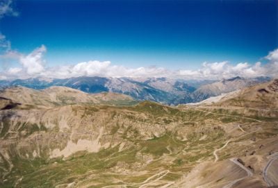
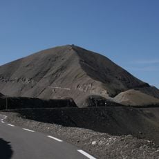
Col de la Bonette, Mountain pass at 2715 meters in Saint-Dalmas-le-Selvage, France.
Col de la Bonette is a mountain pass located at 2,715 meters (8,907 feet) in the French Alps, connecting Saint-Dalmas-le-Selvage and Jausiers. The road winds through tight switchbacks that climb steadily upward through exposed alpine terrain.
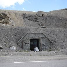
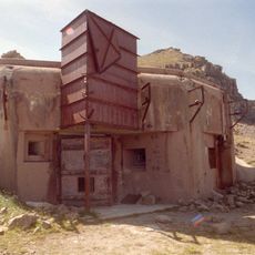
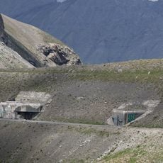
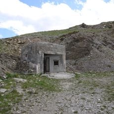
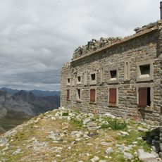
The pass was developed during the 20th century with military fortifications to protect the French-Italian border in this alpine region. This strategic role shaped its development as a key transport corridor across the mountains.
The pass draws cyclists from around the world who come to test themselves on its demanding roads, and it has become a symbol of endurance in the cycling community. Local villages nearby have adapted their tourism to welcome these athletes and enthusiasts.
The road is closed from October through May due to heavy snow, so plan visits for summer months when conditions are safe. Start your drive early in the day to avoid afternoon thunderstorms and to have better visibility throughout the journey.
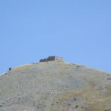
A short side road climbs to Cime de la Bonette at 2,802 meters (9,193 feet), making it the highest paved road in the European Alps. This detour rewards drivers who take it with an even broader view across the surrounding mountains and valleys.
The community of curious travelers
AroundUs brings together thousands of curated places, local tips, and hidden gems, enriched daily by 60,000 contributors worldwide.