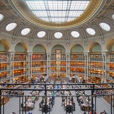
Atlas Cresques, Medieval world map at Bibliothèque nationale, Paris, France
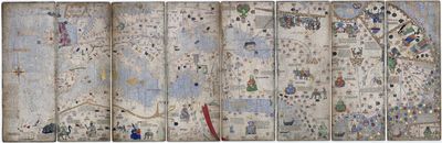
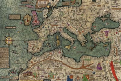
The Atlas Cresques is a medieval world map at the Bibliothèque nationale de France in Paris, stretching across six vellum leaves made from animal skin. Each leaf shows territories from Europe to Asia with drawn coastlines, cities, rulers, and illustrated animals in bright colours.
A Jewish cartographer on Mallorca created this map in the late 14th century, bringing together reports from travellers, sailors, and merchants. It later entered the royal collection and became part of the national library after the Revolution.
The atlas takes its name from Cresques Abraham, a Jewish cartographer who drew on Arabic, Christian, and Jewish sources to assemble a world view connecting trade routes, coastlines, and political powers. Visitors can see how medieval scholars from different traditions shared information and built a common language of geography.
The map follows nautical conventions with north at the bottom, which looks unusual to modern viewers. Catalan text annotations explain astronomical and geographical details that mattered for navigation.
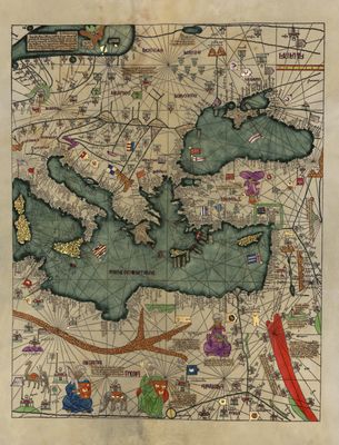
One leaf shows the ruler of Mali seated on a throne holding a gold coin, marking the wealth of his realm. This depiction reminds viewers that Africa played a central role in medieval world trade.
The community of curious travelers
AroundUs brings together thousands of curated places, local tips, and hidden gems, enriched daily by 60,000 contributors worldwide.