Lévézou, Plateau in Aveyron, France
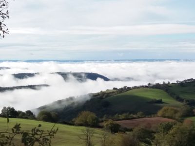
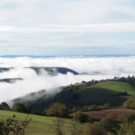
Lévézou is a crystalline plateau in the centre of the Aveyron department, with an average altitude of about 900 m. Its highest point is the puech del Pal (1,155 m), followed by the mont Seigne (1,121 m). The land rises from about 700 m in the west to 1,100 m in the east, and its northern and eastern edges form rocky ridges above the Aveyron and Muze valleys.
The landscape was transformed between 1948 and 1952 when hydroelectric dams were built to create multiple reservoirs. These structures reshaped the region and provided power generation through water.
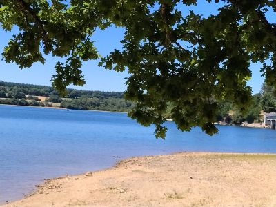
The name Lévézou comes from Occitan words meaning source of waters, reflecting the region's deep bond with water. The many lakes and reservoirs shape how locals and visitors experience and use this landscape today.
The region works well for water sports such as fishing, boating, and swimming on lakes that are accessible year-round. Visitors should know that the mountain landscape offers extensive hiking paths and the warmer months provide the best conditions for outdoor activities.
The Lévézou is a crystalline plateau, not a mountain range, and its name comes from a village that no longer exists, recorded as Leveso in 1189 and Levedon around 1190. The name derives from an Indo-European root *leu-, "stone", with a double suffix -it-one. A family of knightly nobility, the Lévézou de Vézins, took this name, and their coat of arms became the region's symbol.
The community of curious travelers
AroundUs brings together thousands of curated places, local tips, and hidden gems, enriched daily by 94,460 contributors worldwide.