
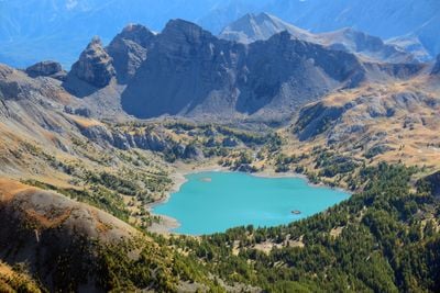
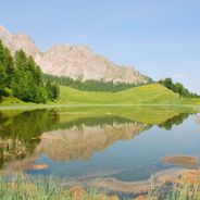
Lac d'Allos, Alpine lake in Mercantour National Park, France.
The lake extends over 60 hectares at an altitude of 2,230 meters, reaching depths of 50 meters beneath its blue waters.
Known as Levedone in the twelfth century, this natural lake has endured centuries of alpine conditions in the Alpes-de-Haute-Provence region.
The lake functions as a meeting point for nature enthusiasts who gather at Notre-Dame des Monts Chapel near its shores.
Access requires a 45-minute walk from Laus parking lot, open from mid-June to mid-October with regulated entry during peak season.
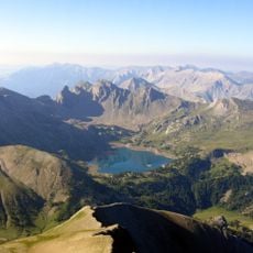
Mont Pelat rises to 3,052 meters above the lake, where visitors can observe chamois and ibex with horns reaching one meter long.
Location: Alpes-de-Haute-Provence
Elevation above the sea: 2,230 m
Length: 950 m
Width: 640 m
Address: Lac d'Allos, 04260 Allos, France 04260 Allos
GPS coordinates: 44.23333,6.70833
Latest update: July 1, 2025 15:07
France contains numerous untouched natural areas. From the underground rivers of Dordogne to the Alpine peaks of Savoie, from the Atlantic coast sand dunes to the gorges of Ardèche, the French landscape displays its natural form. These locations feature forests, caves, mountains, lakes and geological formations.
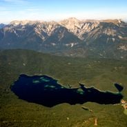
The Alps contain numerous natural landmarks, from high-altitude lakes with clear waters to prominent mountain peaks. This range features deep gorges with vertical walls, glaciers extending for kilometers, and distinctive geological formations. Lakes reflect surrounding peaks, while limestone formations create unique landscapes across different regions of the Alpine arc.
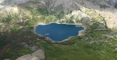
The lakes of the Provence-Alpes-Côte d'Azur region stretch from the Southern Alps to the Verdon. The Serre-Ponçon lake, with its 28 km², offers beaches and coves bordered by forests. The Sainte-Croix lake is the third-largest lake in France. Altitude lakes such as Allos and Sainte-Anne exceed 2400 meters. The Berre pond represents the largest regional saltwater expanse with 155 km². These natural and artificial lakes offer swimming, water activities, and local wildlife observation.
Pelat
3.5 km
Ouvrage La Moutière
11.4 km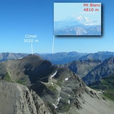
Cimet
6.4 km
Le Chapeau du Gendarme
12.1 km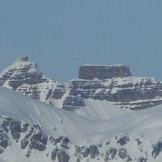
Fort Carra
8 km
Côte de l'Âne
7.5 km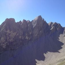
Aiguilles de Pelens
10.1 km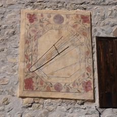
Cadran solaire de la maison communale
11.2 km
Grand Cheval de Bois
8.9 km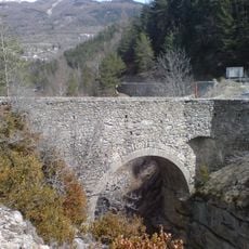
Pont Haut
8 km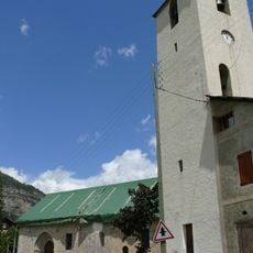
Église Saint-Martin d'Entraunes
11 km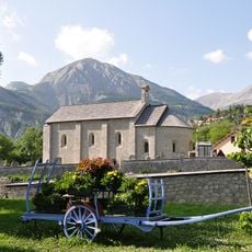
Église Notre-Dame-de-Valvert
6.4 km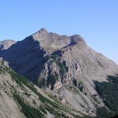
Roche Grande
6 km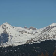
Cime de Pal
10 km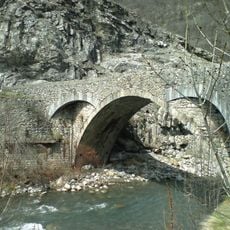
Pont Saint-Roch
9 km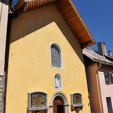
Chapelle Saint-Sébastien d'Allos
6.5 km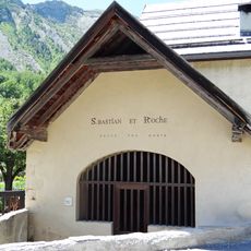
Chapelle Saint-Sébastien
5.9 km
Enceinte de Colmars
8.6 km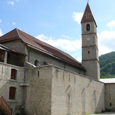
Église Saint-Martin
8.8 km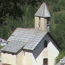
Église Notre-Dame-de-la-Nativité
6 km
Maison-Musée du Haut-Verdon
8.7 km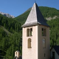
Église Saint-Laurent de Fours
9.6 km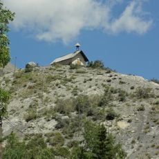
Chapelle Saint-Pierre d'Allos
6.9 km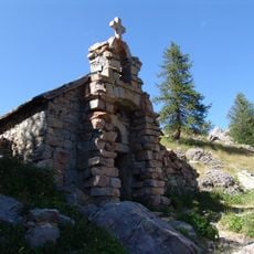
Chapelle Notre-Dame-des-Monts du lac d'Allos
563 m
Chapelle Notre-Dame-des-Grâces de Colmars
8.7 km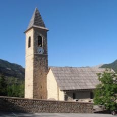
Église Saint-Sévère, Villars-Colmars
11.4 km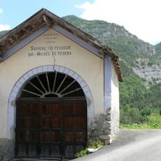
Chapelle Saint-Guilhem de Saint-Martin-d'Entraunes
11 km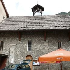
Chapelle Saint-Joseph de Colmars
8.7 kmReviews
Visited this place? Tap the stars to rate it and share your experience / photos with the community! Try now! You can cancel it anytime.
Discover hidden gems everywhere you go!
From secret cafés to breathtaking viewpoints, skip the crowded tourist spots and find places that match your style. Our app makes it easy with voice search, smart filtering, route optimization, and insider tips from travelers worldwide. Download now for the complete mobile experience.

A unique approach to discovering new places❞
— Le Figaro
All the places worth exploring❞
— France Info
A tailor-made excursion in just a few clicks❞
— 20 Minutes