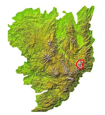
Massif du Mézenc, mountains in France
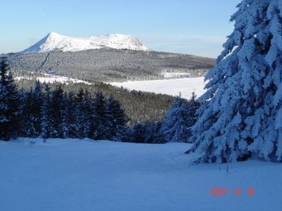
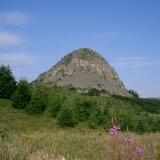
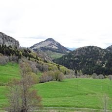
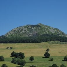
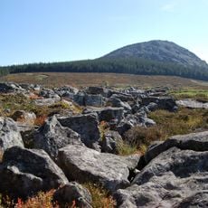
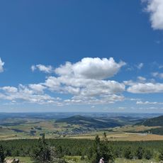
The Massif du Mézenc is a mountain range straddling Ardèche and Haute-Loire, formed from volcanic rock and known for its distinctive rounded peaks. The area features two main domes including the southern Mont Mézenc rising above 1,750 meters, with varied terrain of grasslands, forests, and striking rock formations.
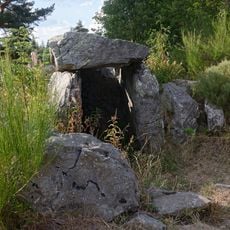
The Massif du Mézenc formed through volcanic activity millions of years ago and once served as a boundary between Celtic peoples. Glaciers covered the area during ice ages, shaping the current landscape, and later the region provided shelter during World War II for refugees and resistance fighters.
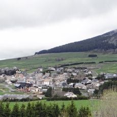
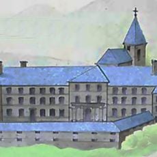
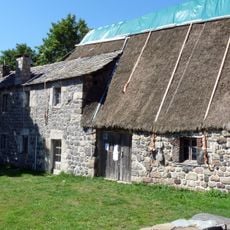
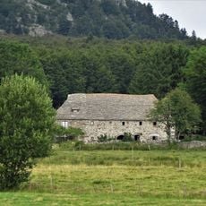
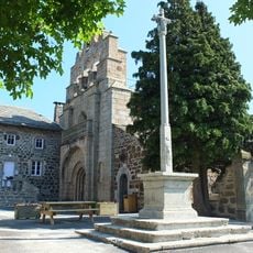
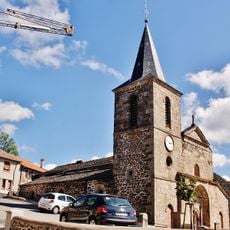
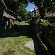
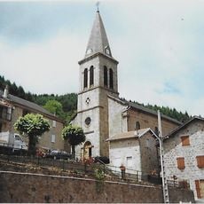
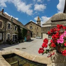
The name Mézenc likely comes from ancient words relating to boundaries, reflecting its historical role separating Celtic communities. Today, visitors can see how local traditions shape the landscape through traditional stone buildings and ongoing cattle grazing on open grasslands.
The massif has well-marked walking trails suitable for various skill levels, with routes crossing the mountains and valleys. Weather can change quickly at higher elevations, so bring layers and proper gear, as conditions are often windy and temperatures drop significantly from the lowlands.
The region is home to the source of the Loire, France's longest river, located at Mont Gerbier-de-Jonc, drawing around 300,000 visitors yearly to witness this significant natural spring. This water source marks the beginning of a river that flows for hundreds of kilometers across the country.
The community of curious travelers
AroundUs brings together thousands of curated places, local tips, and hidden gems, enriched daily by 60,000 contributors worldwide.