Quai Saint-Michel

Log in to your account

AroundUs is a community-driven map of interesting places, built by curious explorers like you. It grows with every review, story, and photo you share.
Connect to save your favorite spots, contribute locations, and create personalized routes.
Continue with Google
Continue with Apple
Continue with X
Continue with Facebook
Continue with email
By continuing, you accept our Terms and Conditions and our Privacy Policy
Create an account

Quai Saint-Michel

Add to collection
Map
Suggest a change
Share

Quai Saint-Michel, Riverfront promenade in 5th arrondissement, France

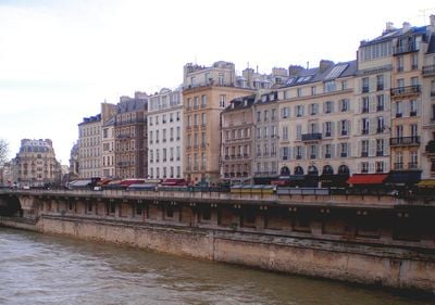
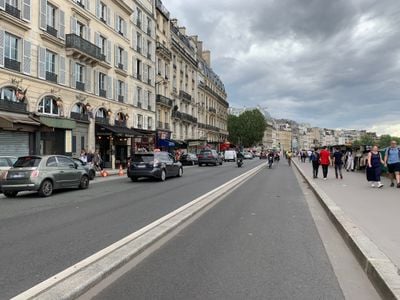
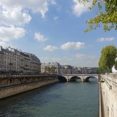
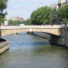
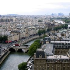
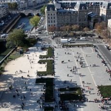
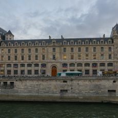
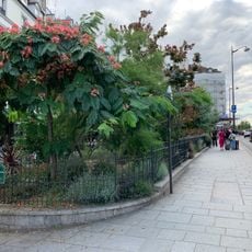
Quai Saint-Michel is a riverfront path in the 5th arrondissement extending roughly 160 meters along the Seine between Petit-Pont and Place Saint-Michel. This 17-meter-wide quay provides direct waterfront access and connects the historic university district to Île de la Cité.

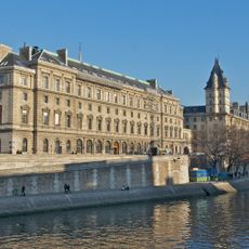
Construction of this riverfront path began in 1561 with a ceremonial foundation laid by Paris authorities. Since then, it has become an integral part of the urban fabric connecting the 5th arrondissement with its waterfront.

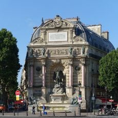
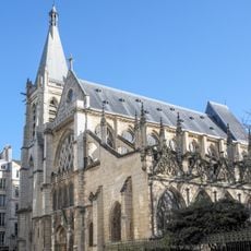
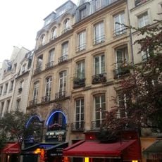
The quay has long drawn artists and writers seeking inspiration from its proximity to the Sorbonne and the river. Today, this artistic heritage lives on through the bookstalls and small galleries that line the waterfront.

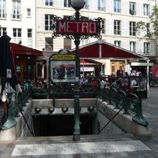
The path offers convenient access to Saint-Michel-Notre-Dame station, where multiple metro lines and regional trains stop. The wide promenade is easy to walk and provides pleasant views of the river as you stroll along.

In the 1920s, Paris planners proposed an unusual idea to transform a section of the Seine next to the quay into a public garden. Though never built, this ambitious proposal reveals how the city once imagined reimagining its waterfront.

Location: 5th arrondissement of Paris

Location: Quartier de la Sorbonne

Length: 157 m

Width: 17 m

Part of: road network of Paris

Shares border with: place du Petit-Pont, place Saint-Michel, quai de Montebello, quai des Grands-Augustins, rue du Chat-qui-Pêche, rue Xavier-Privas, pont Saint-Michel

GPS coordinates: 48.85340,2.34561

Latest update: December 12, 2025 12:04

Photos
Reviews

Visited this place? Tap the stars to rate it and share your experience / photos with the community! Try now! You can cancel it anytime.

« Quai Saint-Michel - Riverfront promenade in 5th arrondissement, France » is provided by Around Us (aroundus.com). Images and texts are derived from Wikimedia project under a Creative Commons license. You are allowed to copy, distribute, and modify copies of this page, under the conditions set by the license, as long as this note is clearly visible.

Discover hidden gems everywhere you go!

From secret cafés to breathtaking viewpoints, skip the crowded tourist spots and find places that match your style. Our app makes it easy with voice search, smart filtering, route optimization, and insider tips from travelers worldwide. Download now for the complete mobile experience.

Around Us App Screenshot

A unique approach to discovering new places

Le Figaro

All the places worth exploring

France Info

A tailor-made excursion in just a few clicks

20 Minutes